Haldane Area, Haldane Postcode & Map in Haldane
Haldane Area, Haldane Postcode & Map in Haldane, Southland District, New Zealand
Haldane, Southland District, New Zealand
Haldane Area (estimated)
29.2 square kilometersHaldane Population (estimated)
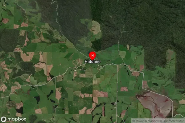
24 people live in Haldane, Waihopai Toetoe Community, NZHaldane Suburb Area Map (Polygon)

Haldane Introduction
Haldane is a small rural community in Southland, New Zealand. It is located on the banks of the Haldane River, and is known for its scenic countryside and friendly locals. The area is popular with outdoor enthusiasts, with many opportunities for hiking, fishing, and hunting. Haldane also has a primary school and a small community hall.Region
Major City
Suburb Name
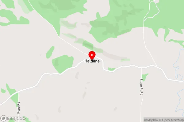
HaldaneHaldane Area Map (Street)
Local Authority
Southland DistrictFull Address
Haldane, Southland District, New ZealandAddress Type
Locality in Major Locality TokanuiHaldane Suburb Map (Satellite)
Country
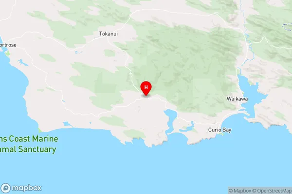
Main Region in AU
SouthlandHaldane Region Map
Coordinates
-46.6258483,168.9978577 (latitude/longitude)Distances
The distance from Haldane, Tokanui, Southland District to NZ Top 10 Cities