Opotiki Suburbs & Region, Opotiki Map & Postcodes in Opotiki, Bay of Plenty
Opotiki Postcodes, Opotiki ZipCodes, Opotiki , Opotiki Bay of Plenty, Opotiki Suburbs, Opotiki Region, Opotiki Map, Opotiki Area
Opotiki Region (Hospital Hill Region)
Opotiki Suburbs
Opotiki is a city place type in Bay of Plenty, NZ. It contains 10 suburbs or localities.Opotiki Region Map
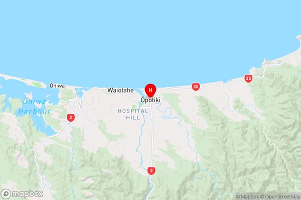
Opotiki Introduction
Opotiki is a town in the Bay of Plenty region of New Zealand's North Island. It is situated on the eastern coast of the Bay of Plenty and is known for its historic buildings, including the Opotiki District Museum and the Opotiki Clock Tower. The town is also home to a large population of Maori, and it is celebrated for its annual Maori Festival, which features traditional music, dance, and food. Opotiki is surrounded by beautiful natural scenery, including the Opotiki Forest and the Opotiki River, and it is a popular destination for outdoor activities such as hiking, fishing, and kayaking.Opotiki Region
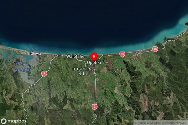
Opotiki Satellite Map
Full Address
Opotiki, Bay of PlentyOpotiki Coordinates
-38.004244,177.287126 (Latitude / Longitude)Opotiki Map in NZ
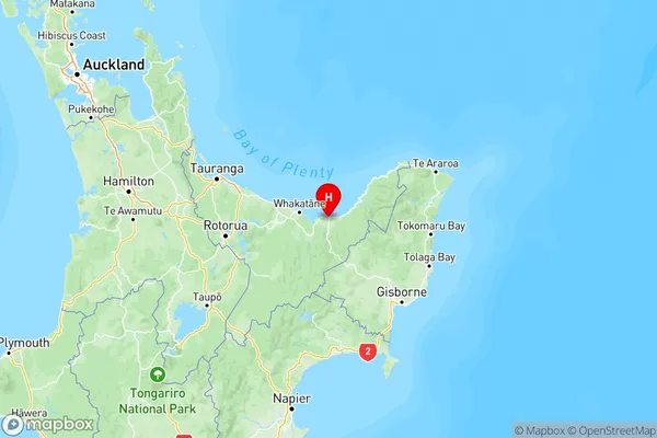
NZ Island
North IslandCountry
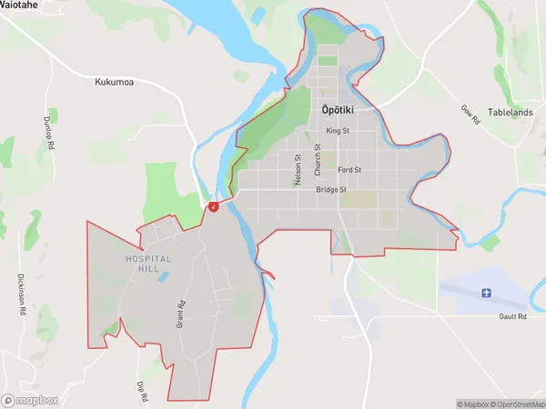
Opotiki Area Map (Polygon)
Name
OpotikiAdditional Name
Hospital HillLocal Authority
Opotiki District (Maori Name: Ōpōtiki District)
Opotiki Suburbs (Sort by Population)
Opotiki Suburbs (Sort in alphabetical)
Opotiki Coastal
Opotiki and Surrounds
Te Kaha
Waihau Bay