Hawai Area, Hawai Postcode & Map in Hawai
Hawai Area, Hawai Postcode & Map in Hawai, Opotiki District,
Hawai, Opotiki District,
Hawai Area (estimated)
80.7 square kilometersHawai Population (estimated)
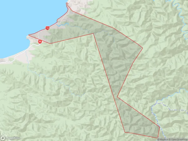
62 people live in Hawai, Opotiki, NZHawai Suburb Area Map (Polygon)
Hawai Introduction
Hawai, Opotiki, Bay of Plenty, NZ, is a small rural town with a population of around 10,000 people. It is located in the eastern Bay of Plenty and is known for its beautiful beaches, lush forests, and warm climate. The town has a rich history and is home to the Maori people, who have a strong presence in the community. There are several historic buildings and sites in the town, including the Opotiki Museum, which showcases the area's cultural heritage. The town also has a variety of recreational facilities, including a golf course, a swimming pool, and a sports stadium.Region
Major City
Suburb Name
HawaiOther Name(s)
HoupotoHawai Area Map (Street)
Local Authority
Opotiki District (Maori Name: Ōpōtiki District)Full Address
Hawai, Opotiki District,Address Type
Locality in Town OpotikiHawai Suburb Map (Satellite)
Country
Main Region in AU
Bay of PlentyHawai Region Map
Coordinates
0,0 (latitude/longitude)Distances
The distance from Hawai, Opotiki, Opotiki District to NZ Top 10 Cities