Te Kaha Suburbs & Region, Te Kaha Map & Postcodes in Te Kaha, Opotiki, Bay of Plenty
Te Kaha Postcodes, Te Kaha ZipCodes, Te Kaha , Te Kaha Bay of Plenty, Te Kaha Suburbs, Te Kaha Region, Te Kaha Map, Te Kaha Area
Te Kaha Region (Awanui, Hariki Beach, Pariokara, Te Kopua, Waiorore Region)
Te Kaha Suburbs
Te Kaha is a suburb place type in Opotiki, Bay of Plenty, NZ. It contains 2 suburbs or localities.Te Kaha Postcodes
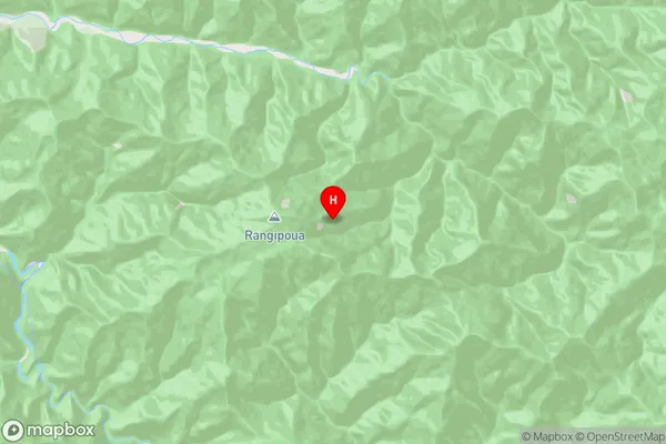
Te Kaha Region Map
Te Kaha Introduction
Te Kaha is a small coastal town in the Bay of Plenty, New Zealand. It is known for its stunning beaches, clear waters, and vibrant marine life. The town has a population of around 2,000 people and is located on the eastern coast of the Bay of Plenty, about 25 km south of Tauranga. Te Kaha is a popular destination for tourists and locals alike, with many activities to enjoy, including swimming, surfing, fishing, and hiking. The town also has a number of cafes, restaurants, and shops, as well as a community center and a library.Te Kaha Region
Te Kaha City
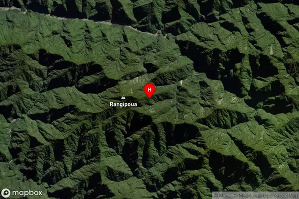
Te Kaha Satellite Map
Full Address
Te Kaha, Opotiki, Bay of PlentyTe Kaha Coordinates
-37.825234,177.777722 (Latitude / Longitude)Te Kaha Map in NZ
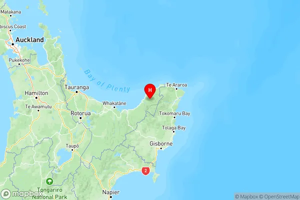
NZ Island
North IslandCountry
Te Kaha Area Map (Polygon)
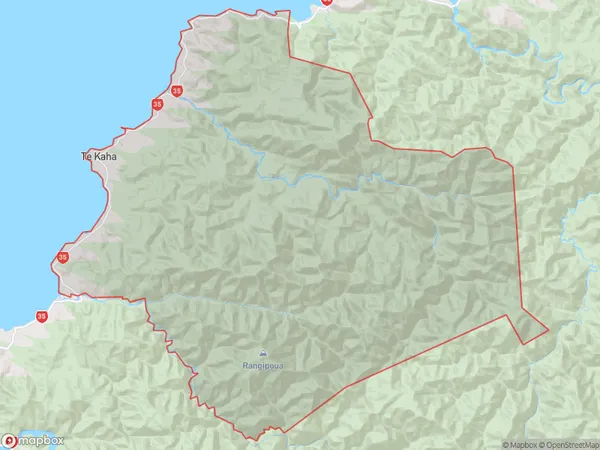
Name
Te KahaAdditional Name
Awanui, Hariki Beach, Pariokara, Te Kopua, WaiororeLocal Authority
Opotiki District (Maori Name: Ōpōtiki District)
Te Kaha Suburbs (Sort by Population)
Te Kaha
Te Kaha - 681Waihau Bay
Waihau Bay - 336