Te Kaha Area, Te Kaha Postcode(3122) & Map in Te Kaha
Te Kaha Area, Te Kaha Postcode(3122) & Map in Te Kaha, Opotiki District, New Zealand
Te Kaha, Opotiki District, New Zealand
Te Kaha Postcodes
Te Kaha Area (estimated)
330.3 square kilometersTe Kaha Population (estimated)
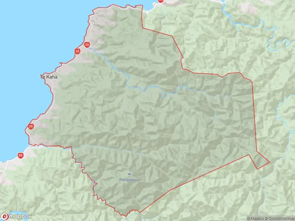
681 people live in Te Kaha, Bay of Plenty, NZTe Kaha Suburb Area Map (Polygon)
Te Kaha Introduction
Te Kaha, located in the Bay of Plenty region of New Zealand, is a small beach town known for its stunning natural beauty, including white sand beaches, crystal-clear waters, and breathtaking sunsets. It is a popular destination for tourists and locals alike, offering a range of activities such as swimming, snorkeling, fishing, and hiking. The town also has a rich cultural heritage, with a strong Maori influence evident in its art, music, and language.Region
Major City
Suburb Name
Te KahaOther Name(s)
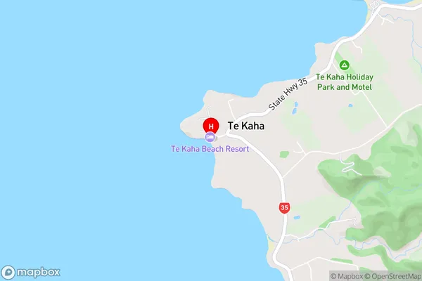
Awanui, Hariki Beach, Pariokara, Te Kopua, WaiororeTe Kaha Area Map (Street)
Local Authority
Opotiki District (Maori Name: Ōpōtiki District)Full Address
Te Kaha, Opotiki District, New ZealandAddress Type
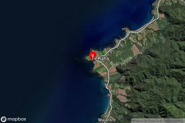
Locality in Major Locality Te KahaTe Kaha Suburb Map (Satellite)
Country
Main Region in AU
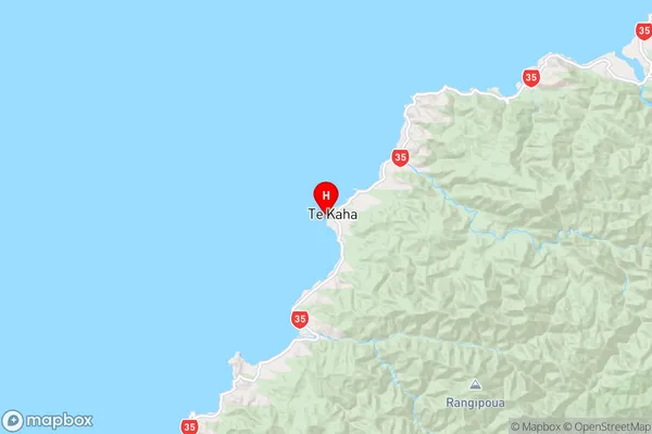
Bay of PlentyTe Kaha Region Map
Coordinates
-37.7406,177.6743 (latitude/longitude)Distances
The distance from Te Kaha, Te Kaha, Opotiki District to NZ Top 10 Cities