Opotiki Coastal Suburbs & Region, Opotiki Coastal Map & Postcodes in Opotiki Coastal, Opotiki, Bay of Plenty

Opotiki Coastal Postcodes, Opotiki Coastal ZipCodes, Opotiki Coastal , Opotiki Coastal Bay of Plenty, Opotiki Coastal Suburbs, Opotiki Coastal Region, Opotiki Coastal Map, Opotiki Coastal Area

Opotiki Coastal Region

  • Opotiki Coastal Suburbs

    Opotiki Coastal is a suburb place type in Opotiki, Bay of Plenty, NZ. It contains 0 suburbs or localities.
  • Opotiki Coastal Region Map

    Opotiki Coastal, Bay of Plenty Region Map
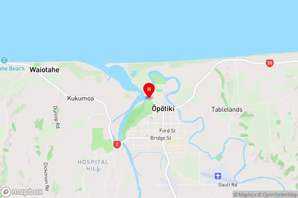
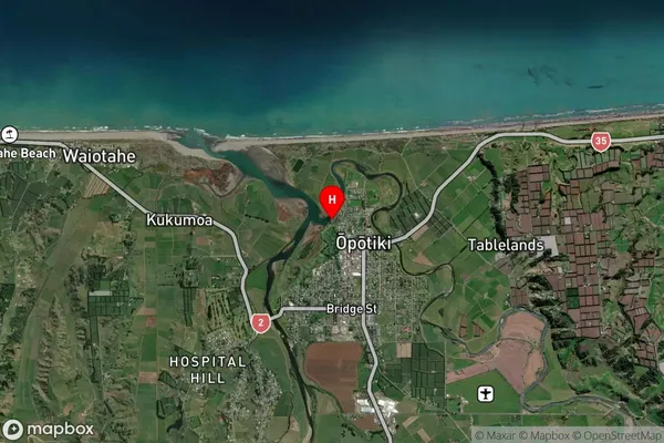
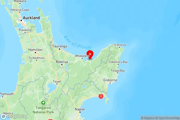
  • Opotiki Coastal Introduction

    Opotiki Coastal, Bay of Plenty, New Zealand, is a picturesque coastal town located on the eastern coast of the Bay of Plenty. It is known for its stunning natural beauty, including white sandy beaches, crystal-clear waters, and lush green forests. The town has a rich cultural heritage, with a strong Māori influence evident in its art, music, and language. Opotiki is also home to a significant number of historic buildings, including the Opotiki Museum and the Opotiki Historic Village. The town is a popular tourist destination and is known for its outdoor activities, including surfing, fishing, hiking, and kayaking. It is also a gateway to the Bay of Plenty's scenic countryside, with the Mount Maunganui and Tauranga regions only a short drive away.
  • Opotiki Coastal Region

  • Opotiki Coastal City

  • Opotiki Coastal Satellite Map

    Opotiki Coastal, Bay of Plenty Satellite Map
  • Full Address

    Opotiki Coastal, Opotiki, Bay of Plenty
  • Opotiki Coastal Coordinates

    -38.0016204,177.2822604 (Latitude / Longitude)
  • Opotiki Coastal Map in NZ

    Opotiki Coastal, Bay of Plenty Region Map
  • NZ Island

    North Island

Opotiki Coastal Suburbs (Sort by Population)

Opotiki Coastal Suburbs (Sort in alphabetical)