Toatoa Area, Toatoa Postcode(3197) & Map in Toatoa
Toatoa Area, Toatoa Postcode(3197) & Map in Toatoa, Opotiki District, New Zealand
Toatoa, Opotiki District, New Zealand
Toatoa Postcodes
Toatoa Area (estimated)
648.3 square kilometersToatoa Population (estimated)
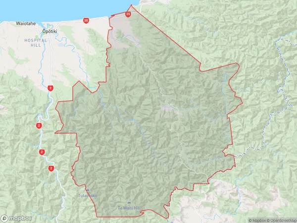
410 people live in Toatoa, Bay of Plenty, NZToatoa Suburb Area Map (Polygon)
Toatoa Introduction
Toatoa is a small rural town in the Bay of Plenty, New Zealand. It is known for its beautiful beaches, lush green landscapes, and friendly community. The town has a population of around 1,000 people and is located about 30 minutes' drive from Opotiki. It is a popular destination for tourists and locals alike, with many activities to enjoy, including hiking, fishing, and surfing.Region
Major City
Suburb Name
ToatoaOther Name(s)
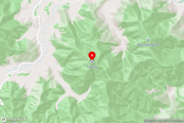
Omarumutu, Opape, Takaputahi, Waiaua, WhitikauToatoa Area Map (Street)
Local Authority
Opotiki District (Maori Name: Ōpōtiki District)Full Address
Toatoa, Opotiki District, New ZealandAddress Type
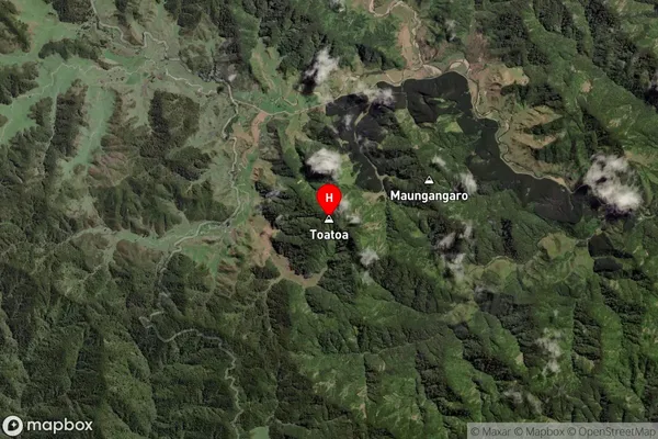
Locality in Town OpotikiToatoa Suburb Map (Satellite)
Country
Main Region in AU
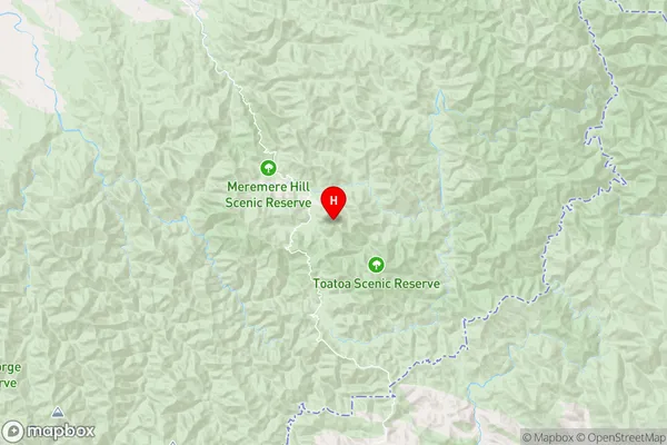
Bay of PlentyToatoa Region Map
Coordinates
-38.124835,177.522012 (latitude/longitude)Distances
The distance from Toatoa, Opotiki, Opotiki District to NZ Top 10 Cities