Omaio Area, Omaio Postcode(3199) & Map in Omaio
Omaio Area, Omaio Postcode(3199) & Map in Omaio, Opotiki District, New Zealand
Omaio, Opotiki District, New Zealand
Omaio Postcodes
Omaio Area (estimated)
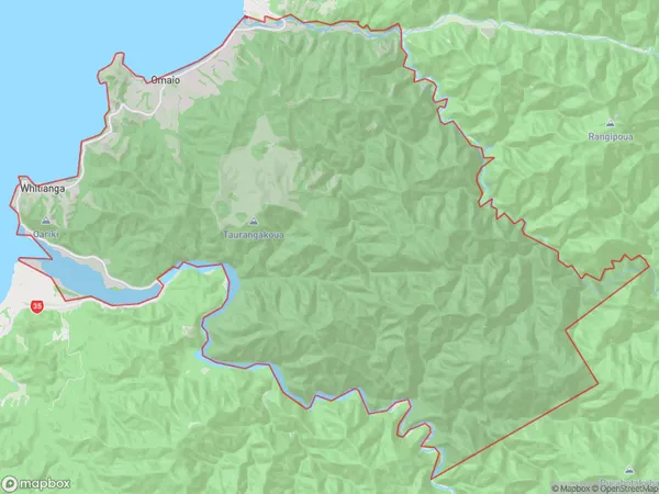
128.9 square kilometersOmaio Population (estimated)
220 people live in Omaio, Bay of Plenty, NZOmaio Suburb Area Map (Polygon)
Omaio Introduction
Omaio is a small rural town in the Bay of Plenty region of New Zealand. It is situated on the eastern coast of the Bay of Plenty, approximately 30 kilometers southeast of Opotiki. The town is known for its scenic surroundings, including the Omaio Beach and the Omaio Forest. The population of Omaio is around 100 people, and the town has a primary school, a post office, and a small supermarket.Region
Major City
Suburb Name
OmaioOther Name(s)
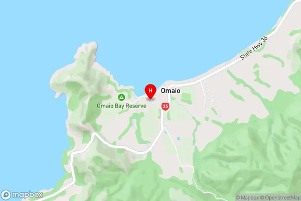
Otehirinaki, Otuwhare, WhitiangaOmaio Area Map (Street)
Local Authority
Opotiki District (Maori Name: Ōpōtiki District)Full Address
Omaio, Opotiki District, New ZealandAddress Type
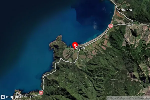
Locality in Town OpotikiOmaio Suburb Map (Satellite)
Country
Main Region in AU
Bay of PlentyOmaio Region Map

Coordinates
-37.8155637,177.6295211 (latitude/longitude)Distances
The distance from Omaio, Opotiki, Opotiki District to NZ Top 10 Cities