Opotiki Area, Opotiki Postcode(3122) & Map in Opotiki
Opotiki Area, Opotiki Postcode(3122) & Map in Opotiki, Opotiki District, New Zealand
Opotiki, Opotiki District, New Zealand
Opotiki Area (estimated)
8.3 square kilometersOpotiki Population (estimated)
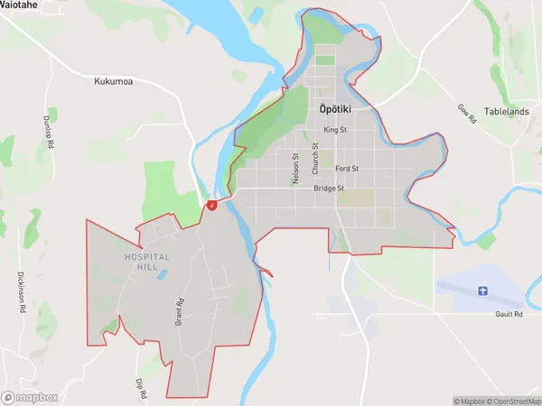
5209 people live in Opotiki, Bay of Plenty, NZOpotiki Suburb Area Map (Polygon)
Opotiki Introduction
Opotiki is a small town in the Bay of Plenty region of New Zealand. It is known for its historic buildings, including the Opotiki District Museum and the Opotiki Clock Tower. The town also has a beautiful beach and is a popular destination for tourists.Region
Major City
Suburb Name
Opotiki (Maori Name: Ōpōtiki)Other Name(s)
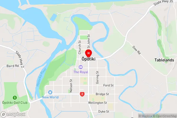
Hospital HillOpotiki Area Map (Street)
Local Authority
Opotiki District (Maori Name: Ōpōtiki District)Full Address
Opotiki, Opotiki District, New ZealandAddress Type
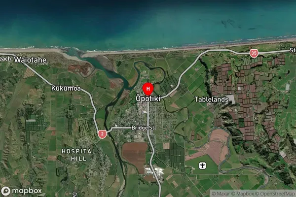
Suburb in Town OpotikiOpotiki Suburb Map (Satellite)
Country
Main Region in AU
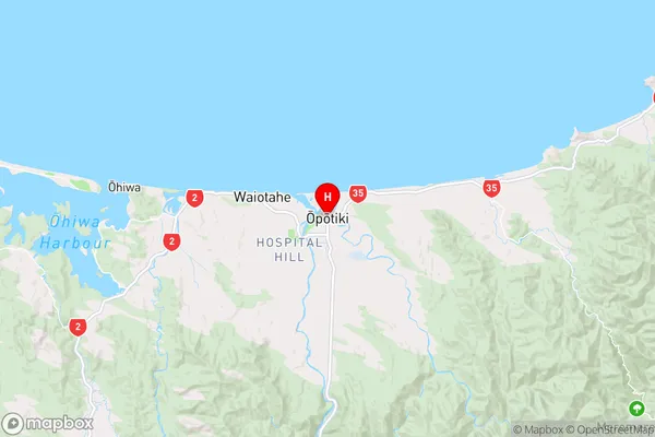
Bay of PlentyOpotiki Region Map
Coordinates
-38.0042441,177.2871265 (latitude/longitude)Distances
The distance from Opotiki, Opotiki, Opotiki District to NZ Top 10 Cities