Waioeka Area, Waioeka Postcode(3122) & Map in Waioeka
Waioeka Area, Waioeka Postcode(3122) & Map in Waioeka, Opotiki District, New Zealand
Waioeka, Opotiki District, New Zealand
Waioeka Postcodes
Waioeka Area (estimated)
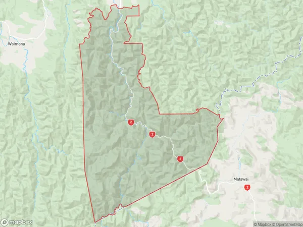
611.3 square kilometersWaioeka Population (estimated)
83 people live in Waioeka, Bay of Plenty, NZWaioeka Suburb Area Map (Polygon)
Waioeka Introduction
Waioeka is a small rural town in the Bay of Plenty, New Zealand. It is known for its beautiful beaches, lush green forests, and historic buildings. The town has a population of around 1,000 people and is located on the banks of the Waioeka River. It is a popular destination for tourists and locals alike, with many activities to enjoy, including fishing, hiking, and kayaking.Region
Major City
Suburb Name
WaioekaOther Name(s)
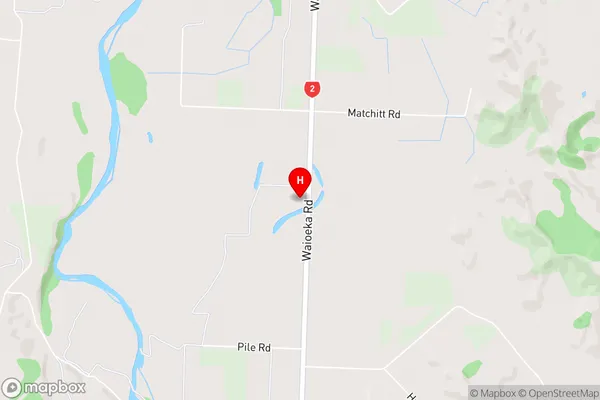
Matahanea, Okiore, Oponae, WairataWaioeka Area Map (Street)
Local Authority
Opotiki District (Maori Name: Ōpōtiki District)Full Address
Waioeka, Opotiki District, New ZealandAddress Type
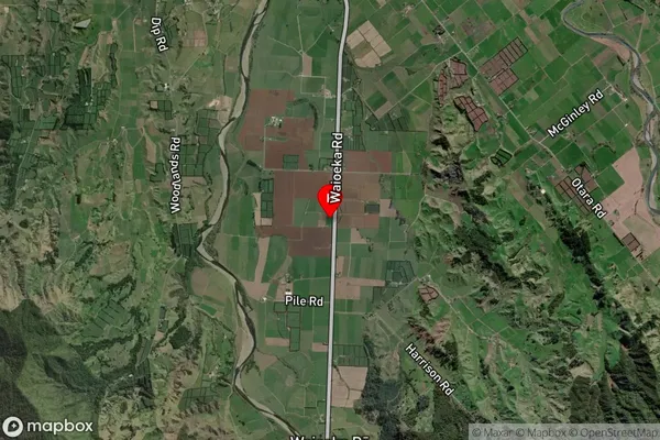
Locality in Town OpotikiWaioeka Suburb Map (Satellite)
Country
Main Region in AU
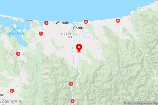
Bay of PlentyWaioeka Region Map
Coordinates
-38.0549003,177.2886944 (latitude/longitude)Distances
The distance from Waioeka, Opotiki, Opotiki District to NZ Top 10 Cities