Waiotahe Area, Waiotahe Postcode(3122) & Map in Waiotahe
Waiotahe Area, Waiotahe Postcode(3122) & Map in Waiotahe, Opotiki District, New Zealand
Waiotahe, Opotiki District, New Zealand
Waiotahe Postcodes
Waiotahe Area (estimated)
76.3 square kilometersWaiotahe Population (estimated)
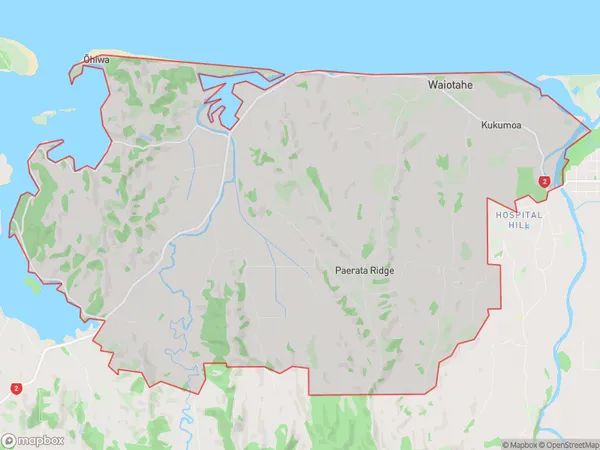
1392 people live in Waiotahe, Bay of Plenty, NZWaiotahe Suburb Area Map (Polygon)
Waiotahe Introduction
Waiotahe is a small rural community located in the Bay of Plenty region of New Zealand. It is known for its beautiful natural surroundings, including lush forests, waterfalls, and a stunning beach. The community has a strong Maori culture and is home to a number of historic buildings and landmarks. Waiotahe is also a popular destination for outdoor enthusiasts, with a range of activities such as hiking, fishing, and kayaking available.Region
Major City
Suburb Name
WaiotaheOther Name(s)
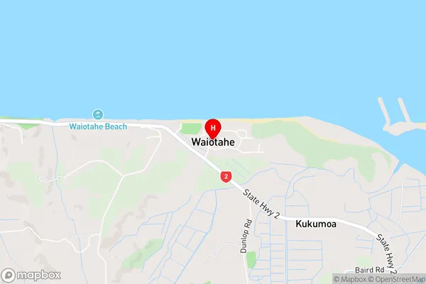
Kukumoa, Ohiwa, Paerata Ridge, Waiotahe Beach, Waiotahi, Waiotahi Beach, Waiotahi MaraeWaiotahe Area Map (Street)
Local Authority
Opotiki District (Maori Name: Ōpōtiki District)Full Address
Waiotahe, Opotiki District, New ZealandAddress Type
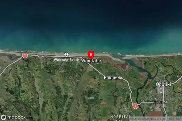
Suburb in Town OpotikiWaiotahe Suburb Map (Satellite)
Country
Main Region in AU
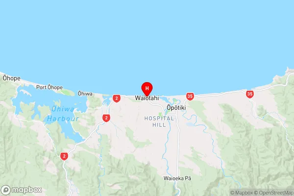
Bay of PlentyWaiotahe Region Map
Coordinates
-37.9936229,177.2461245 (latitude/longitude)Distances
The distance from Waiotahe, Opotiki, Opotiki District to NZ Top 10 Cities