Otara Area, Otara Postcode(2013) & Map in Otara
Otara Area, Otara Postcode(2013) & Map in Otara, Opotiki District,
Otara, Opotiki District,
Otara Area (estimated)
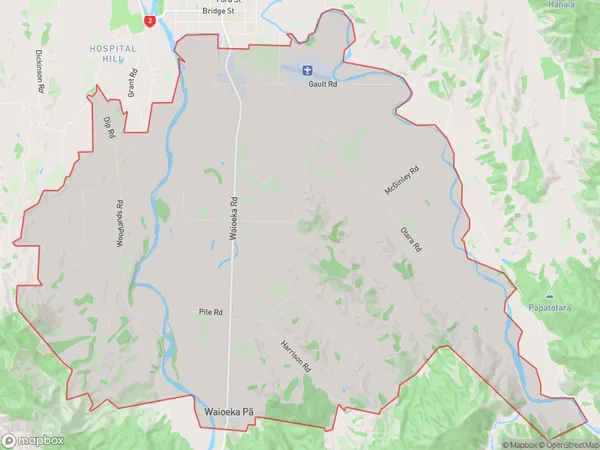
65.2 square kilometersOtara Population (estimated)
601 people live in Otara, Opotiki, NZOtara Suburb Area Map (Polygon)
Otara Introduction
Otara is a suburb of Opotiki in the Bay of Plenty region of New Zealand. It is known for its historic buildings and cultural heritage, including the Otara Pa, a former prison settlement. The suburb has a large Māori population and is home to several important cultural institutions, such as the Otara Art Gallery.Region
Major City
Suburb Name
Otara (Maori Name: Ōtara)Other Name(s)
Apanui, Te Rere Marae, Waioeka Pa, WoodlandsOtara Area Map (Street)
Local Authority
Opotiki District (Maori Name: Ōpōtiki District)Full Address
Otara, Opotiki District,Address Type
Locality in Town OpotikiOtara Suburb Map (Satellite)
Country
Main Region in AU
Bay of PlentyOtara Region Map
Coordinates
0,0 (latitude/longitude)Distances
The distance from Otara, Opotiki, Opotiki District to NZ Top 10 Cities