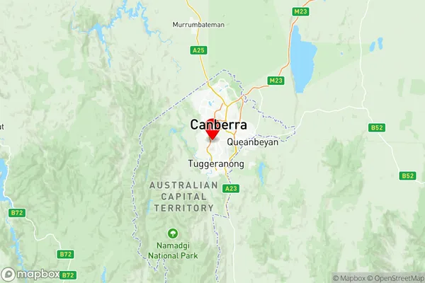
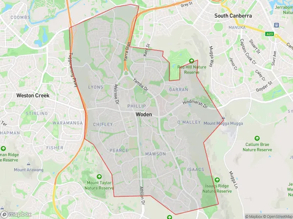
Woden Suburbs & Region, Woden Map & Postcodes
Woden Suburbs & Region, Woden Map & Postcodes in Woden, Australian Capital Territory, ACT, AU
Woden Region
Region Name
Woden (ACT, AU)Woden Area
28.6 square kilometers (28.6 ㎢)Postal Codes
2600, and from 2605 to 2607 (In total, there are 4 postcodes in Woden.)Woden Introduction
Woden is a suburb in the Australian Capital Territory (ACT) located in the northern part of the city. It is named after the Aboriginal god Woden, who was the god of law and justice in Australian mythology. Woden is located approximately 10 kilometers from the CBD and is bordered by the suburbs of Weston Creek, Gungahlin, and Tuggeranong. The suburb has a variety of housing options, including apartments, townhouses, and detached homes. It is home to a number of government institutions, including the Australian Parliament House, the High Court of Australia, and the Australian Tax Office. Woden also has a number of parks and recreational facilities, including the Woden Park Golf Course and the Woden Community Centre. The suburb is well-connected to the rest of the city by public transport, with several bus routes and the Woden Town Centre located within walking distance. It is also close to a number of shopping centers, including the Woden Plaza and the Westfield Woden.Australia State
City or Big Region
District or Regional Area
Woden Region Map

Woden Postcodes / Zip Codes
Woden Suburbs
Parkes (ACT) South
Woden full address
Woden, Australian Capital Territory, ACT, Australia, SaCode: 80109Country
Woden, Australian Capital Territory, ACT, Australia, SaCode: 80109
Woden Suburbs & Region, Woden Map & Postcodes has 18 areas or regions above, and there are 30 Woden suburbs below. The sa3code for the Woden region is 80109. Its latitude and longitude coordinates are -35.3511,149.078.
Woden Suburbs & Localities
1. Deakin
2. Hmas Harman
3. Russell
4. Yarralumla
5. Chifley
6. Omalley
7. Phillip Dc
8. Capital Hill
9. Duntroon
10. Parkes
11. Curtin
12. Omalley
13. Swinger Hill
14. Torrens
15. Fairbairn Raaf
16. Hughes
17. Lyons
18. Isaacs
19. Pearce
20. Barton
21. Canberra
22. Deakin West
23. Harman
24. Parliament House
25. Russell Hill
26. Garran
27. Phillip
28. Woden
29. Farrer
30. Mawson
