Phillip Dc Area, Phillip Dc Postcode(2606) & Map in Phillip Dc, Australian Capital Territory, ACT
Phillip Dc Area, Phillip Dc Postcode(2606) & Map in Phillip Dc, Australian Capital Territory, ACT, AU, Postcode: 2606
Phillip Dc, Phillip, Woden Valley, Australian Capital Territory, Australian Capital Territory, Australia, 2606
Phillip Dc Postcode
Area Name
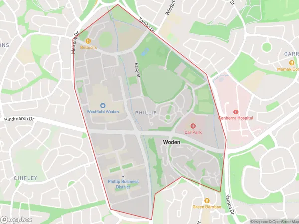
Phillip DcPhillip Dc Suburb Area Map (Polygon)

Phillip Dc Introduction
Phillip is a suburb in the Australian Capital Territory (ACT) in Australia. It is located in the northern part of the city and is bordered by the Molonglo River to the north, the Tuggeranong Creek to the east, and the Australian National University to the south. Phillip is a popular residential area with a mix of apartments, townhouses, and detached homes. It is known for its vibrant community spirit, with many local parks and recreational facilities. The suburb also has a large shopping district with a variety of shops, cafes, and restaurants. Phillip is well-connected to other parts of the city, with easy access to the Canberra Airport and the city center.State Name
City or Big Region
District or Regional Area
Suburb Name
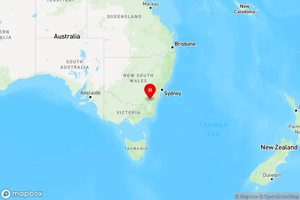
Phillip Dc Region Map

Country
Main Region in AU
R2Coordinates
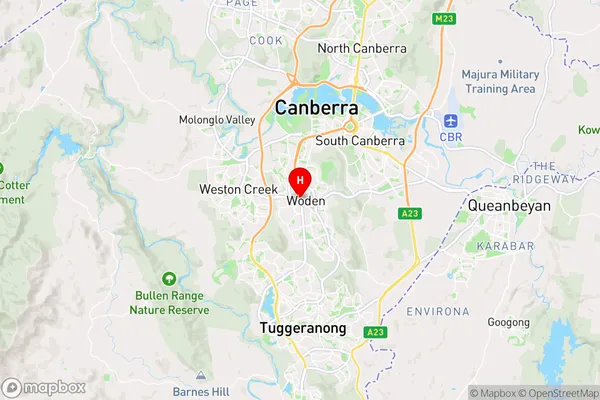
-35.3494,149.09 (latitude/longitude)Phillip Dc Area Map (Street)

Longitude
149.092601Latitude
-35.351693Phillip Dc Elevation
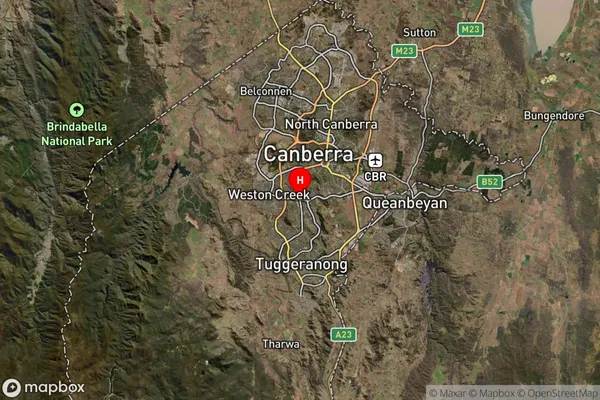
about 599.23 meters height above sea level (Altitude)Phillip Dc Suburb Map (Satellite)

Distances
The distance from Phillip Dc, Australian Capital Territory, ACT to AU Greater Capital CitiesSA1 Code 2011
80109110904SA1 Code 2016
80109110904SA2 Code
801091109SA3 Code
80109SA4 Code
801RA 2011
1RA 2016
1MMM 2015
1MMM 2019
1Charge Zone
N2LGA Region
Unincorporated ACTLGA Code
89399Electorate
Canberra