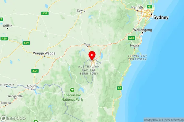
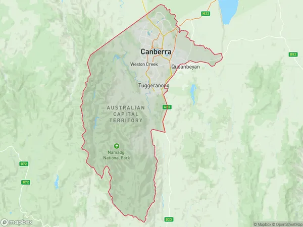
Canberra Suburbs & Region, Canberra Map & Postcodes
Canberra Suburbs & Region, Canberra Map & Postcodes in Canberra, ACT, AU
Canberra Region
Region Name
Canberra (ACT, AU)Canberra Area
2358 square kilometers (2,358 ㎢)Postal Codes
from 2600 to 2607, 2609, 2611, 2612, from 2614 to 2618, 2620, 2900, from 2902 to 2906, and from 2911 to 2914 (In total, there are 27 postcodes in Canberra.)Canberra Introduction
Canberra is the capital city of Australia and is located in the southeast region of the country, within the Australian Capital Territory (ACT). It is named after the Canberra River, which flows through the city. Canberra is known for its beautiful gardens, museums, and parliamentary buildings. It is also home to many national institutions, such as the Australian Parliament, the High Court of Australia, and the Australian Museum. Canberra has a population of approximately 400,000 people and is the largest inland city in Australia.Australia State
City or Big Region
Canberra Region Map

Canberra Postcodes / Zip Codes
Canberra Suburbs
Cotter Namadgi
Canberra East
North Canberra
South Canberra
Tuggeranong
Weston Creek
Uriarra Namadgi
Canberra full address
Canberra, Australian Capital Territory, ACT, Australia, SaCode: 801Country
Canberra, Australian Capital Territory, ACT, Australia, SaCode: 801
Canberra Suburbs & Region, Canberra Map & Postcodes has 11 areas or regions above, and there are 193 Canberra suburbs below. The sa4code for the Canberra region is 801. Its latitude and longitude coordinates are -35.2583,149.08.
Canberra Suburbs & Localities
1. Karabar
2. Uriarra
3. Springrange
4. Aranda
5. Belconnen Dc
6. Charnwood
7. Belconnen
8. Hmas Harman
9. Symonston
10. Amaroo
11. Casey
12. Crace
13. Gungahlin
14. Acton
15. Oconnor
16. Braddon
17. Forrest
18. Narrabundah
19. Banks
20. Bonython
21. Fadden
22. Greenway
23. Kambah Village
24. Oxley
25. Chifley
26. Curtin
27. Farrer
