Cotter Namadgi Suburbs & Region, Cotter Namadgi Map & Postcodes
Cotter Namadgi Suburbs & Region, Cotter Namadgi Map & Postcodes in Cotter Namadgi, Australian Capital Territory, ACT, AU
Cotter Namadgi Region
Region Name
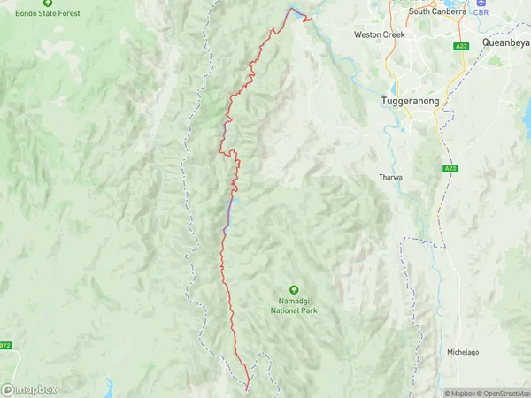
Cotter Namadgi (ACT, AU)Cotter Namadgi Suburb Area Map (Polygon)
Cotter Namadgi Introduction
Cotter Namadgi National Park is located in the Australian Capital Territory, 25 kilometers southwest of Canberra, and is part of the Namadgi National Park. It is named after the Cotter River, which flows through the park. The park is home to a variety of animals and plants, including kangaroos, wallabies, echidnas, and a variety of bird species. The park is also home to several historic sites, including the Cotter Dam, which was built in the 1930s to provide water to the Canberra region. The park is a popular destination for hiking, camping, and picnicking, and is also home to several walking trails.Australia State
City or Big Region
District or Regional Area
Cotter Namadgi Suburbs
Cotter Namadgi full address
Cotter Namadgi, Australian Capital Territory, ACT, Australia, SaCode: 80102Country
Cotter Namadgi, Australian Capital Territory, ACT, Australia, SaCode: 80102
Cotter Namadgi Suburbs & Region, Cotter Namadgi Map & Postcodes has 11 areas or regions above, and there are 0 Cotter Namadgi suburbs below. The sa3code for the Cotter Namadgi region is 80102.