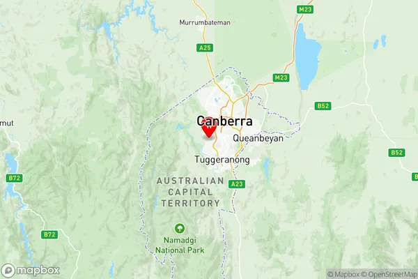
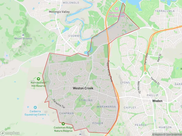
Weston Creek Suburbs & Region, Weston Creek Map & Postcodes
Weston Creek Suburbs & Region, Weston Creek Map & Postcodes in Weston Creek, Australian Capital Territory, ACT, AU
Weston Creek Region
Region Name
Weston Creek (ACT, AU)Weston Creek Area
18.15 square kilometers (18.15 ㎢)Postal Codes
2611 (In total, there are 1 postcodes in Weston Creek.)Weston Creek Introduction
Weston Creek is a suburb in the Australian Capital Territory (ACT) located in the northern suburbs of Canberra. It is named after the Weston Creek, which flows through the suburb. Weston Creek is a popular residential area with a mix of houses, apartments, and townhouses. It is close to a variety of amenities, including shops, schools, and recreational facilities. The suburb is also home to a number of government agencies and institutions, including the Australian Bureau of Statistics and the Australian Taxation Office. Weston Creek is well-connected to the rest of Canberra via public transportation, with several bus routes and the Weston Creek railway station located within the suburb.Australia State
City or Big Region
District or Regional Area
Weston Creek Region Map

Weston Creek Postcodes / Zip Codes
Weston Creek Suburbs
Denman Prospect
Weston Creek full address
Weston Creek, Australian Capital Territory, ACT, Australia, SaCode: 80108Country
Weston Creek, Australian Capital Territory, ACT, Australia, SaCode: 80108
Weston Creek Suburbs & Region, Weston Creek Map & Postcodes has 12 areas or regions above, and there are 23 Weston Creek suburbs below. The sa3code for the Weston Creek region is 80108. Its latitude and longitude coordinates are -35.357,149.04.
Weston Creek Suburbs & Localities
1. Bimberi
2. Chapman
3. Coree
4. Fisher
5. Holder
6. Stirling
7. Uriarra
8. Weston
9. Wright
10. Brindabella
11. Cooleman
12. Denman Prospect
13. Pierces Creek
14. Stromlo
15. Waramanga
16. Whitlam
17. Coombs
18. Rivett
19. Uriarra Forest
20. Duffy
21. Mount Stromlo
22. Uriarra Village
23. Weston Creek
