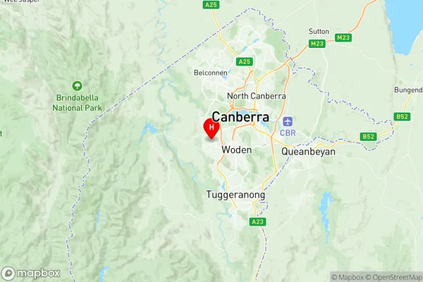
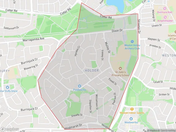
Holder Suburbs & Region, Holder Map & Postcodes
Holder Suburbs & Region, Holder Map & Postcodes in Holder, Weston Creek, Australian Capital Territory, ACT, AU
Holder Region
Region Name
Holder (ACT, AU)Holder Area
1.87 square kilometers (1.87 ㎢)Postal Codes
2611 (In total, there are 1 postcodes in Holder.)Holder Introduction
Holder is a suburb in the Australian Capital Territory (ACT), Australia. It is located in the northern suburbs of Canberra and is part of the Gungahlin Region. Holder is named after Sir John Holder, who was the first Governor-General of Australia. The suburb is bordered by the Molonglo River to the north, the Gungahlin Drive to the east, and the Barton Highway to the south. Holder is a popular residential area with a mix of detached houses, townhouses, and apartments. It has a variety of amenities, including a shopping center, a community center, a library, and several parks and playgrounds. The suburb is also home to several government agencies, including the Australian Taxation Office and the Department of Defence. Holder is well-connected to the rest of Canberra, with easy access to the city center via the Barton Highway and the Gungahlin Drive. It is also a short drive to the airport and the Canberra Institute of Technology.Australia State
City or Big Region
Greater Capital City
Australian Capital Territory (8ACTE)District or Regional Area
Suburb Name
Holder Region Map

Holder Postcodes / Zip Codes
Holder Suburbs
Holder full address
Holder, Weston Creek, Australian Capital Territory, ACT, Australia, SaCode: 801081094Country
Holder, Weston Creek, Australian Capital Territory, ACT, Australia, SaCode: 801081094
Holder Suburbs & Region, Holder Map & Postcodes has 0 areas or regions above, and there are 1 Holder suburbs below. The sa2code for the Holder region is 801081094. Its latitude and longitude coordinates are -35.336,149.045. Holder area belongs to Australia's greater capital city Australian Capital Territory.
Holder Suburbs & Localities
1. Holder
