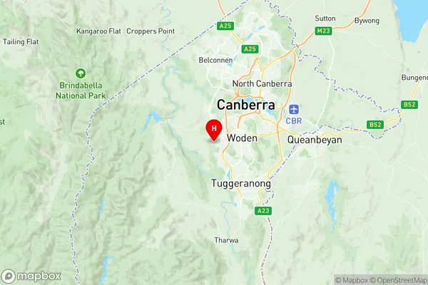
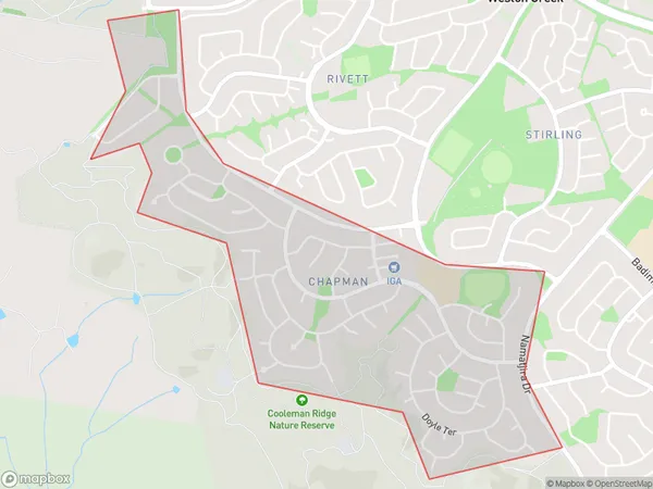
Chapman Suburbs & Region, Chapman Map & Postcodes
Chapman Suburbs & Region, Chapman Map & Postcodes in Chapman, Weston Creek, Australian Capital Territory, ACT, AU
Chapman Region
Region Name
Chapman (ACT, AU)Chapman Area
1.86 square kilometers (1.86 ㎢)Postal Codes
2611 (In total, there are 1 postcodes in Chapman.)Chapman Introduction
Chapman is a suburb in the Australian Capital Territory (ACT) in Australia. It is located in the northern part of the city and is bordered by the Molonglo River to the east, the Gungahlin Drive to the south, and the Barton Highway to the west. The suburb is named after John Chapman, who was a surveyor and explorer in the region in the early 19th century. Chapman is a relatively new suburb, with most of the development occurring in the 1990s and 2000s. It is a popular residential area, with a mix of single-family homes, apartments, and townhouses. The suburb has a number of parks and recreational facilities, including a community center, a swimming pool, and a golf course. Chapman is well-connected to the rest of the city, with easy access to the Canberra CBD and other major suburbs. It is also located near a number of major transport routes, including the Barton Highway and the Gungahlin Drive. The suburb is served by a number of schools, including Chapman Primary School and Canberra Grammar School. In summary, Chapman is a modern and well-established suburb in the Australian Capital Territory with a rich history and a variety of amenities. It is a popular residential area for families and professionals alike, with easy access to the city and a range of recreational facilities.Australia State
City or Big Region
Greater Capital City
Australian Capital Territory (8ACTE)District or Regional Area
Suburb Name
Chapman Region Map

Chapman Postcodes / Zip Codes
Chapman Suburbs
Chapman full address
Chapman, Weston Creek, Australian Capital Territory, ACT, Australia, SaCode: 801081091Country
Chapman, Weston Creek, Australian Capital Territory, ACT, Australia, SaCode: 801081091
Chapman Suburbs & Region, Chapman Map & Postcodes has 0 areas or regions above, and there are 1 Chapman suburbs below. The sa2code for the Chapman region is 801081091. Its latitude and longitude coordinates are -35.357,149.04. Chapman area belongs to Australia's greater capital city Australian Capital Territory.
Chapman Suburbs & Localities
1. Chapman
