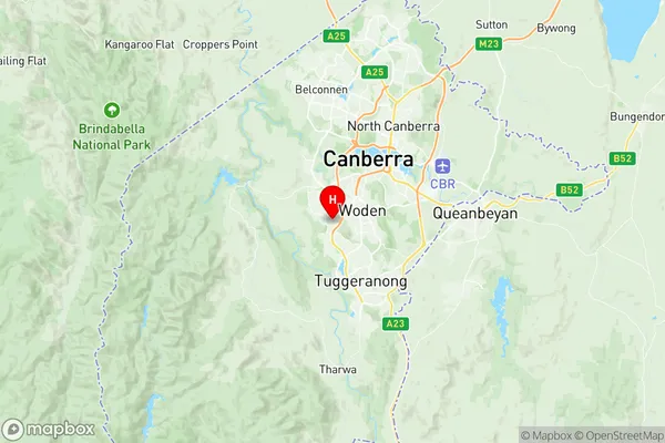
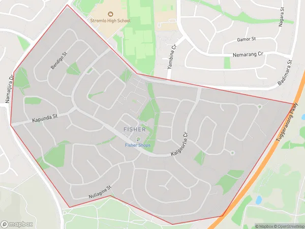
Fisher Suburbs & Region, Fisher Map & Postcodes
Fisher Suburbs & Region, Fisher Map & Postcodes in Fisher, Weston Creek, Australian Capital Territory, ACT, AU
Fisher Region
Region Name
Fisher (ACT, AU)Fisher Area
1.58 square kilometers (1.58 ㎢)Postal Codes
2611 (In total, there are 1 postcodes in Fisher.)Fisher Introduction
Fisher is a suburb in the Australian Capital Territory (ACT), located in the northern part of the city. It is named after John Fisher, who was a politician and a member of the ACT Legislative Assembly. Fisher is located approximately 10 kilometers north of the ACT's central business district and is bordered by the Molonglo River to the east and the Gungahlin Drive to the west. The suburb has a variety of housing options, including apartments, townhouses, and detached homes. It is a popular area for families and young professionals due to its convenient location, good schools, and recreational facilities. There are several parks in Fisher, including the John Fisher Park and the Fisher Community Garden, which provide opportunities for residents to enjoy outdoor activities. Fisher is well-connected to the rest of the city by public transport, with several bus routes and a light rail station located within the suburb. The suburb also has a medical center, a shopping center, and a variety of restaurants and cafes. In summary, Fisher is a vibrant and well-established suburb in the Australian Capital Territory with a variety of housing options, excellent recreational facilities, and convenient transportation links. It is a popular place to live for families and young professionals looking for a comfortable and convenient lifestyle in a beautiful natural setting.Australia State
City or Big Region
Greater Capital City
Australian Capital Territory (8ACTE)District or Regional Area
Suburb Name
Fisher Region Map

Fisher Postcodes / Zip Codes
Fisher Suburbs
Fisher full address
Fisher, Weston Creek, Australian Capital Territory, ACT, Australia, SaCode: 801081093Country
Fisher, Weston Creek, Australian Capital Territory, ACT, Australia, SaCode: 801081093
Fisher Suburbs & Region, Fisher Map & Postcodes has 0 areas or regions above, and there are 1 Fisher suburbs below. The sa2code for the Fisher region is 801081093. Its latitude and longitude coordinates are -35.361,149.057. Fisher area belongs to Australia's greater capital city Australian Capital Territory.
Fisher Suburbs & Localities
1. Fisher
