Uriarra Forest Area, Uriarra Forest Postcode(2611) & Map in Uriarra Forest, Australian Capital Territory, ACT
Uriarra Forest Area, Uriarra Forest Postcode(2611) & Map in Uriarra Forest, Australian Capital Territory, ACT, AU, Postcode: 2611
Uriarra Forest, ACT - South West, Urriarra - Namadgi, Australian Capital Territory, Australian Capital Territory, Australia, 2611
Uriarra Forest Postcode
Area Name
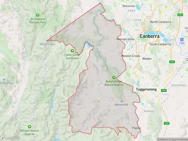
Uriarra ForestUriarra Forest Suburb Area Map (Polygon)

Uriarra Forest Introduction
Uriarra Forest is a forest located in the Australian Capital Territory, Australia. It is part of the Namadgi National Park and is known for its stunning mountain views, walking trails, and biodiversity. The forest is home to a variety of plant and animal species, including the endangered Canberra snail and the eastern grey kangaroo. Visitors can enjoy picnicking, camping, and hiking in the forest.State Name
City or Big Region
District or Regional Area
Suburb Name
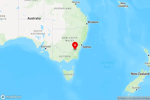
Uriarra Forest Region Map

Country
Main Region in AU
R3Coordinates
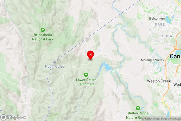
-35.3053823,148.8919756 (latitude/longitude)Uriarra Forest Area Map (Street)

Longitude
148.784415Latitude
-35.322291Uriarra Forest Elevation
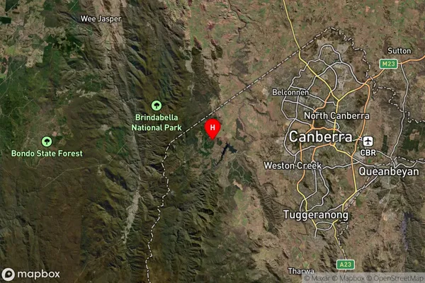
about 852.33 meters height above sea level (Altitude)Uriarra Forest Suburb Map (Satellite)

Distances
The distance from Uriarra Forest, Australian Capital Territory, ACT to AU Greater Capital CitiesSA1 Code 2011
80102102701SA1 Code 2016
80111114003SA2 Code
801111140SA3 Code
80111SA4 Code
801RA 2011
2RA 2016
2MMM 2015
2MMM 2019
2Charge Zone
N2LGA Region
Unincorporated ACTLGA Code
89399Electorate
Eden-Monaro