ACT South West Suburbs & Region, ACT South West Map & Postcodes
ACT South West Suburbs & Region, ACT South West Map & Postcodes in ACT South West, Tuggeranong, Australian Capital Territory, ACT, AU
ACT South West Region
Region Name
ACT South West (ACT, AU)ACT South West Area
416.78 square kilometers (416.78 ㎢)Postal Codes
2611, and 2620 (In total, there are 2 postcodes in ACT South West.)ACT South West Introduction
ACT South West is a division of the Australian Capital Territory Legislative Assembly in Australia. It represents the southern suburbs of Canberra and includes the areas of Belconnen, Gungahlin, Tuggeranong, and Weston Creek. The division was created in 2016 as a result of the redistribution of electoral boundaries. It is currently represented by Labor member Mick Gentleman, who was elected in the 2016 election. The ACT South West division has a diverse population and includes a mix of residential areas, commercial precincts, and natural attractions such as the Lake Burley Griffin and the National Zoo and Aquarium. The division is home to a number of major government institutions, including the Australian Parliament House, the Australian Tax Office, and the Department of Defence. In terms of politics, ACT South West has traditionally been a Labor stronghold, with the party winning every election in the division since its creation. However, in the 2016 election, Mick Gentleman was elected as the division's first Liberal member in over 20 years. The division is also home to a number of independent members, including ACT Greens member Caroline Le Couteur and independent candidate Andrew Wilkie. Overall, ACT South West is a significant division of the Australian Capital Territory Legislative Assembly, with a diverse population and a history of strong Labor support. The division is likely to remain a key focus for political attention in the years to come.Australia State
City or Big Region
Greater Capital City
Australian Capital Territory (8ACTE)District or Regional Area
Suburb Name
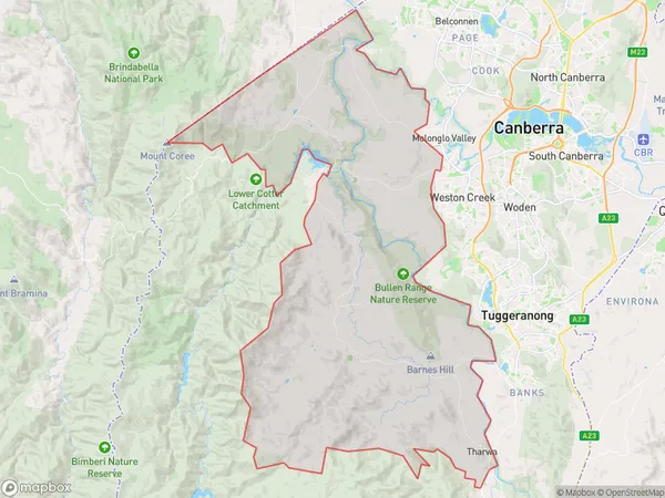
ACT South West Region Map

ACT South West Postcodes / Zip Codes
ACT South West Suburbs
ACT South West full address
ACT South West, Tuggeranong, Australian Capital Territory, ACT, Australia, SaCode: 801111140Country
ACT South West, Tuggeranong, Australian Capital Territory, ACT, Australia, SaCode: 801111140
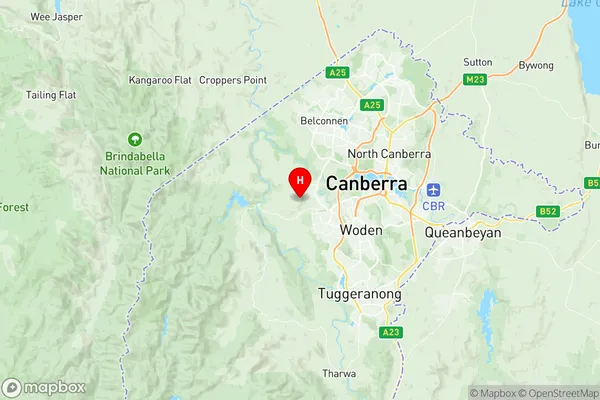
ACT South West Suburbs & Region, ACT South West Map & Postcodes has 0 areas or regions above, and there are 4 ACT South West suburbs below. The sa2code for the ACT South West region is 801111140. Its latitude and longitude coordinates are -35.3162,149.01. ACT South West area belongs to Australia's greater capital city Australian Capital Territory.
ACT South West Suburbs & Localities
1. Tharwa
2. Uriarra Forest
3. Mount Stromlo
4. Uriarra Village
