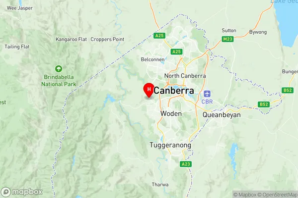
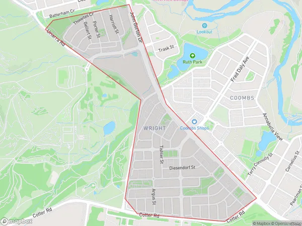
Wright Suburbs & Region, Wright Map & Postcodes
Wright Suburbs & Region, Wright Map & Postcodes in Wright, Weston Creek, Australian Capital Territory, ACT, AU
Wright Region
Region Name
Wright (ACT, AU)Wright Area
1.27 square kilometers (1.27 ㎢)Postal Codes
2611 (In total, there are 1 postcodes in Wright.)Wright Introduction
Wright is a suburb in the Australian Capital Territory (ACT) located in the northern section of Canberra. It is named after John Wright, a surveyor who played a significant role in the early development of the Canberra region. Wright is located approximately 10 kilometers north of the Canberra CBD and is bordered by the Molonglo River to the east and the Ginninderra Creek to the west. The suburb has a population of around 4,000 people and is known for its peaceful and quiet atmosphere. It is home to a variety of housing types, including single-family homes, apartments, and townhouses. Wright also has a number of parks and recreational facilities, including a community center, a sports field, and a playground. The suburb is well-connected to the rest of Canberra via public transportation, with several bus routes and a light rail station located within walking distance.Australia State
City or Big Region
Greater Capital City
Australian Capital Territory (8ACTE)District or Regional Area
Suburb Name
Wright Region Map

Wright Postcodes / Zip Codes
Wright Suburbs
Wright full address
Wright, Weston Creek, Australian Capital Territory, ACT, Australia, SaCode: 801101139Country
Wright, Weston Creek, Australian Capital Territory, ACT, Australia, SaCode: 801101139
Wright Suburbs & Region, Wright Map & Postcodes has 0 areas or regions above, and there are 1 Wright suburbs below. The sa2code for the Wright region is 801101139. Its latitude and longitude coordinates are -35.317,149.033. Wright area belongs to Australia's greater capital city Australian Capital Territory.
Wright Suburbs & Localities
1. Wright
