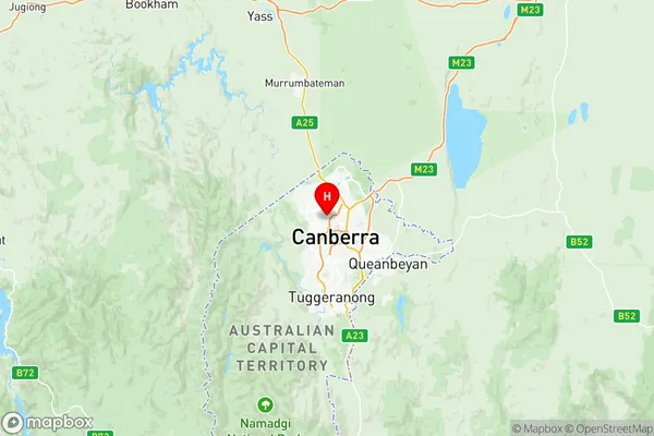
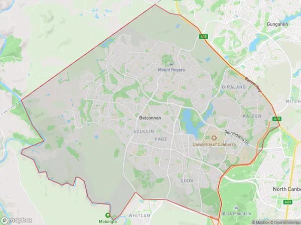
Belconnen Suburbs & Region, Belconnen Map & Postcodes
Belconnen Suburbs & Region, Belconnen Map & Postcodes in Belconnen, Australian Capital Territory, ACT, AU
Belconnen Region
Region Name
Belconnen (ACT, AU)Belconnen Area
112.26 square kilometers (112.26 ㎢)Postal Codes
2614 (In total, there are 1 postcodes in Belconnen.)Belconnen Introduction
Belconnen is a suburb of Canberra, Australian Capital Territory, Australia. It is located in the northern part of the city and is bordered by the Molonglo River to the east, Lake Burley Griffin to the south, and the Gungahlin Drive to the west. Belconnen is home to a variety of shops, restaurants, and recreational facilities, including the Belconnen Mall, the Westfield Belconnen, and the Canberra Institute of Technology. It is also a popular residential area, with many families and young professionals choosing to live in the suburb due to its convenient location and excellent amenities. The suburb was named after the Belconnen River, which flows through it, and was originally developed as a satellite town for Canberra in the 1960s. It has since grown into a thriving community with a population of over 40,000 people. Belconnen is well-connected to the rest of Canberra, with easy access to the city center via the Canberra Expressway and the Gungahlin Drive. It is also home to a number of public transport options, including buses and trains, making it an easy commute for workers and students. In terms of education, Belconnen is home to a number of primary and secondary schools, including the Belconnen Primary School, the Canberra Grammar School, and the Canberra College. The suburb is also home to the Canberra Institute of Technology, which offers a rangeAustralia State
City or Big Region
District or Regional Area
Belconnen Region Map

Belconnen Postcodes / Zip Codes
Belconnen Suburbs
Molonglo Corridor
West Belconnen
Belconnen full address
Belconnen, Australian Capital Territory, ACT, Australia, SaCode: 80101Country
Belconnen, Australian Capital Territory, ACT, Australia, SaCode: 80101
Belconnen Suburbs & Region, Belconnen Map & Postcodes has 12 areas or regions above, and there are 8 Belconnen suburbs below. The sa3code for the Belconnen region is 80101. Its latitude and longitude coordinates are -35.2583,149.08.
Belconnen Suburbs & Localities
1. Hawker
2. Scullin
3. Aranda
4. Cook
5. Jamison Centre
6. Macquarie
7. Page
8. Weetangera
