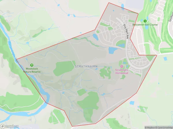
Strathnairn Suburbs & Region, Strathnairn Map & Postcodes
Strathnairn Suburbs & Region, Strathnairn Map & Postcodes in Strathnairn, Belconnen, Australian Capital Territory, ACT, AU
Strathnairn Region
Region Name
Strathnairn (ACT, AU)Strathnairn Area
4.2 square kilometers (4.2 ㎢)Strathnairn Introduction
Strathnairn is a suburb in the Australian Capital Territory (ACT) located in the northern suburbs of Canberra. It is named after the Scottish town of Strathnairn. The suburb is located approximately 10 kilometers north of the Canberra city center and is bordered by the Molonglo River to the east, the Ginninderra Creek to the north, and the Tuggeranong Creek to the west. Strathnairn is a popular residential area with a mix of modern apartments and houses. It has a variety of shops, cafes, and restaurants, as well as a community center and a library. The suburb is also home to a number of parks and recreational facilities, including a golf course and a swimming pool. Strathnairn is well-connected to the rest of Canberra via public transportation, with several bus routes and a light rail station located within the suburb. The suburb is also within easy driving distance of the Australian Capital Territory's major attractions, including the Australian War Memorial, the National Gallery of Australia, and the National Zoo and Aquarium.Australia State
City or Big Region
Greater Capital City
Australian Capital Territory (8ACTE)District or Regional Area
Suburb Name
Strathnairn Suburbs
Strathnairn full address
Strathnairn, Belconnen, Australian Capital Territory, ACT, Australia, SaCode: 801011143Country
Strathnairn, Belconnen, Australian Capital Territory, ACT, Australia, SaCode: 801011143
Strathnairn Suburbs & Region, Strathnairn Map & Postcodes has 0 areas or regions above, and there are 0 Strathnairn suburbs below. The sa2code for the Strathnairn region is 801011143. Strathnairn area belongs to Australia's greater capital city Australian Capital Territory.
