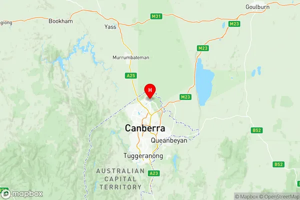
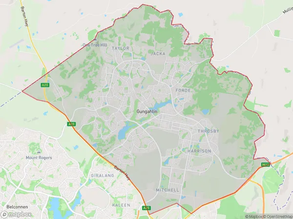
Gungahlin Suburbs & Region, Gungahlin Map & Postcodes
Gungahlin Suburbs & Region, Gungahlin Map & Postcodes in Gungahlin, Australian Capital Territory, ACT, AU
Gungahlin Region
Region Name
Gungahlin (ACT, AU)Gungahlin Area
91.88 square kilometers (91.88 ㎢)Postal Codes
2618, 2911, 2913, and 2914 (In total, there are 4 postcodes in Gungahlin.)Gungahlin Introduction
Gungahlin is a suburb in the northern part of Canberra, Australian Capital Territory, Australia. It is located in the district of Gungahlin and is named after the Gungahlin River, which flows through the suburb. Gungahlin is located approximately 10 kilometers from the city center of Canberra and is bordered by the Molonglo River to the east, the Tuggeranong Creek to the south, and the Barton Highway to the west. The suburb was developed in the 1960s and 1970s as a satellite town for Canberra. It is home to a number of government agencies, including the Australian Bureau of Statistics, the Australian Taxation Office, and the Department of Education and Training. Gungahlin also has a number of shopping centers, including the Gungahlin Town Center and the Gungahlin Marketplace. The suburb is well-serviced by public transportation, with a number of bus routes and the Gungahlin Light Rail serving the area. The suburb also has a number of parks and recreational facilities, including the Gungahlin Reserve, the Gungahlin Lakes Nature Reserve, and the Gungahlin District Park. Gungahlin is a popular suburb for families and professionals, with a number of high-quality schools and universities in the area. The suburb is also home to a number of cultural institutions, including the GungahAustralia State
City or Big Region
District or Regional Area
Gungahlin Region Map

Gungahlin Postcodes / Zip Codes
Gungahlin Suburbs
Gungahlin East
Gungahlin West
Gungahlin full address
Gungahlin, Australian Capital Territory, ACT, Australia, SaCode: 80104Country
Gungahlin, Australian Capital Territory, ACT, Australia, SaCode: 80104
Gungahlin Suburbs & Region, Gungahlin Map & Postcodes has 19 areas or regions above, and there are 19 Gungahlin suburbs below. The sa3code for the Gungahlin region is 80104. Its latitude and longitude coordinates are -35.1714,149.129.
Gungahlin Suburbs & Localities
1. Hall
2. Springrange
3. Wallaroo
4. Crace
5. Palmerston
6. Taylor
7. Ginninderra Village
8. Ngunnawal
9. Amaroo
10. Bonner
11. Harrison
12. Jacka
13. Moncrieff
14. Nicholls
15. Forde
16. Mitchell
17. Casey
18. Franklin
19. Throsby
