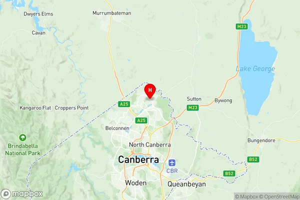
Bonner Suburbs & Region, Bonner Map & Postcodes
Bonner Suburbs & Region, Bonner Map & Postcodes in Bonner, Gungahlin, Australian Capital Territory, ACT, AU
Bonner Region
Region Name
Bonner (ACT, AU)Bonner Area
2.76 square kilometers (2.76 ㎢)Bonner Introduction
Bonner is an Australian suburb located in the Australian Capital Territory (ACT) in the district of Ginninderra. It is named after John Bonner, an early settler and politician. Bonner is located approximately 10 kilometers southeast of the ACT's capital city, Canberra, and is part of the Canberra Statistical Division. The suburb has a population of around 6,000 people and is known for its rural atmosphere and picturesque surroundings. It is surrounded by farmland and has a number of parks and recreational facilities, including a golf course and a swimming pool. Bonner also has a primary school, a post office, and a number of shops and cafes. The suburb is located in the Ginninderra electorate, which is represented by Labor member Alicia Payne in the Australian House of Representatives. Bonner is also part of the Ginninderra Region, which is governed by the Ginninderra Council.Australia State
City or Big Region
Greater Capital City
Australian Capital Territory (8ACTE)District or Regional Area
Suburb Name
Bonner Region Map

Bonner Suburbs
Bonner full address
Bonner, Gungahlin, Australian Capital Territory, ACT, Australia, SaCode: 801041035Country
Bonner, Gungahlin, Australian Capital Territory, ACT, Australia, SaCode: 801041035
Bonner Suburbs & Region, Bonner Map & Postcodes has 0 areas or regions above, and there are 0 Bonner suburbs below. The sa2code for the Bonner region is 801041035. Its latitude and longitude coordinates are -35.1641,149.133. Bonner area belongs to Australia's greater capital city Australian Capital Territory.
