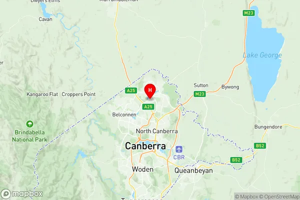
Palmerston Suburbs & Region, Palmerston Map & Postcodes
Palmerston Suburbs & Region, Palmerston Map & Postcodes in Palmerston, Gungahlin, Australian Capital Territory, ACT, AU
Palmerston Region
Region Name
Palmerston (ACT, AU)Palmerston Area
1.95 square kilometers (1.95 ㎢)Postal Codes
2913 (In total, there are 1 postcodes in Palmerston.)Palmerston Introduction
Palmerston is an inner suburb of Canberra, Australian Capital Territory, Australia, located in the district of Turner. It is named after John Palmer, who was the second Premier of the Australian Capital Territory. The suburb is located approximately 5 km northeast of the Australian Parliament House and 7 km southwest of the city center. Palmerston has a population of approximately 3,500 people and is home to a variety of amenities, including a shopping center, a medical center, a library, and a number of parks and recreational facilities. The suburb is also well-connected to other parts of Canberra, with easy access to the city's bus and train networks. One of the notable features of Palmerston is its abundance of green spaces. The suburb is home to a number of parks and reserves, including the Palmerston District Park, which features a playground, walking trails, and a picnic area. The suburb is also home to the National Zoo and Aquarium, which is a popular destination for families and wildlife enthusiasts. In terms of education, Palmerston is served by a number of schools, including Palmerston District Primary School, Palmerston College, and Canberra Grammar School. The suburb is also home to a number of tertiary institutions, including the Australian National University and the University of Canberra. Overall, Palmerston is a vibrant and well-established suburb of Canberra that offers a high quality of life to its residents. Its convenient location, well-developedAustralia State
City or Big Region
Greater Capital City
Australian Capital Territory (8ACTE)District or Regional Area
Suburb Name
Palmerston Region Map

Palmerston Postcodes / Zip Codes
Palmerston Suburbs
Palmerston full address
Palmerston, Gungahlin, Australian Capital Territory, ACT, Australia, SaCode: 801041048Country
Palmerston, Gungahlin, Australian Capital Territory, ACT, Australia, SaCode: 801041048
Palmerston Suburbs & Region, Palmerston Map & Postcodes has 0 areas or regions above, and there are 1 Palmerston suburbs below. The sa2code for the Palmerston region is 801041048. Its latitude and longitude coordinates are -35.1946,149.114. Palmerston area belongs to Australia's greater capital city Australian Capital Territory.
Palmerston Suburbs & Localities
1. Palmerston
