Wallaroo Area, Wallaroo Postcode(2618) & Map in Wallaroo, Capital Region, NSW
Wallaroo Area, Wallaroo Postcode(2618) & Map in Wallaroo, Capital Region, NSW, AU, Postcode: 2618
Wallaroo, Yass Region, Young - Yass, Capital Region, New South Wales, Australia, 2618
Wallaroo Postcode
Area Name
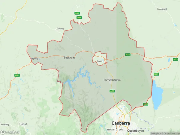
WallarooWallaroo Suburb Area Map (Polygon)

Wallaroo Introduction
Wallaroo is a town in the Mid North Coast region of New South Wales, Australia. It is located in the Port Macquarie-Hastings Council area and is about 366 kilometers north of Sydney. The town is named after the Wallaroo, a species of wallaby found in the area. Wallaroo is a popular tourist destination due to its beaches, national parks, and wildlife. It is also home to a number of industries, including agriculture, mining, and manufacturing.State Name
City or Big Region
District or Regional Area
Suburb Name
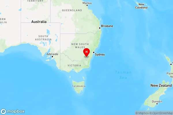
Wallaroo Region Map

Country
Main Region in AU
R2Coordinates
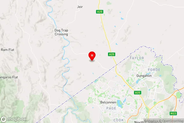
-35.1530342,149.0070552 (latitude/longitude)Wallaroo Area Map (Street)

Longitude
149.043278Latitude
-35.135588Wallaroo Elevation
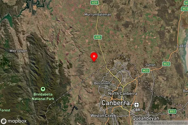
about 798.46 meters height above sea level (Altitude)Wallaroo Suburb Map (Satellite)

Distances
The distance from Wallaroo, Capital Region, NSW to AU Greater Capital CitiesSA1 Code 2011
10101100428SA1 Code 2016
10106154216SA2 Code
101061542SA3 Code
10106SA4 Code
101RA 2011
2RA 2016
2MMM 2015
2MMM 2019
2Charge Zone
N2LGA Region
Yass ValleyLGA Code
18710Electorate
Eden-Monaro