Throsby Area, Throsby Postcode(2914) & Map in Throsby, Australian Capital Territory, ACT
Throsby Area, Throsby Postcode(2914) & Map in Throsby, Australian Capital Territory, ACT, AU, Postcode: 2914
Throsby, Throsby, Gungahlin, Australian Capital Territory, Australian Capital Territory, Australia, 2914
Throsby Postcode
Area Name
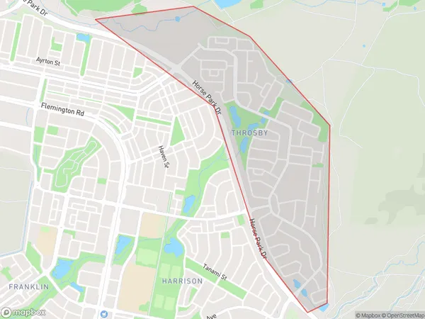
ThrosbyThrosby Suburb Area Map (Polygon)
Throsby Introduction
Throsby is a suburb of Canberra, Australia, located in the Australian Capital Territory (ACT). It is named after John Throsby, an early landowner in the area. Throsby has a population of approximately 2,580 people and is known for its natural beauty, including the Throsby Creek and the Throsby Nature Reserve.State Name
City or Big Region
District or Regional Area
Suburb Name
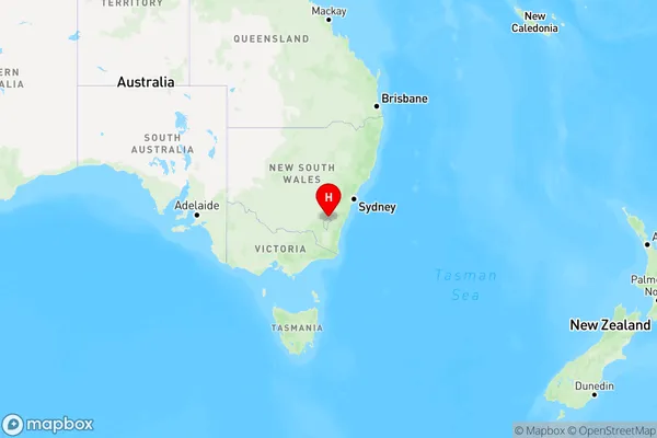
Throsby Region Map
Country
Main Region in AU
R2Coordinates
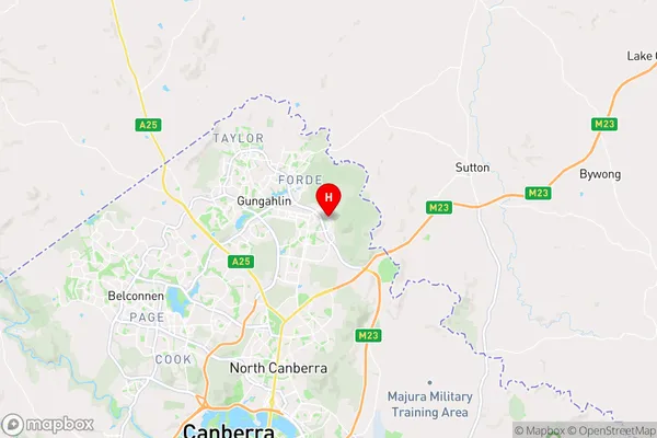
-35.1881,149.164 (latitude/longitude)Throsby Area Map (Street)
Longitude
149.1636815Latitude
-35.19159199Throsby Elevation
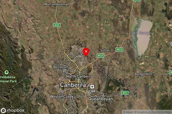
about 620.22 meters height above sea level (Altitude)Throsby Suburb Map (Satellite)
Distances
The distance from Throsby, Australian Capital Territory, ACT to AU Greater Capital CitiesSA1 Code 2011
80104104101SA1 Code 2016
80104112201SA2 Code
801041122SA3 Code
80104SA4 Code
801RA 2011
1RA 2016
1MMM 2015
1MMM 2019
1Charge Zone
N2LGA Region
Unincorporated ACTLGA Code
89399Electorate
Fenner