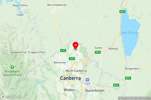
Amaroo Suburbs & Region, Amaroo Map & Postcodes
Amaroo Suburbs & Region, Amaroo Map & Postcodes in Amaroo, Gungahlin, Australian Capital Territory, ACT, AU
Amaroo Region
Region Name
Amaroo (ACT, AU)Amaroo Area
2.59 square kilometers (2.59 ㎢)Postal Codes
2914 (In total, there are 1 postcodes in Amaroo.)Amaroo Introduction
Amaroo is a suburb in the Australian Capital Territory (ACT) in Australia. It is located in the northern part of the territory and is part of the Gungahlin Region. Amaroo is named after the Amaroo Creek, which flows through the suburb. The suburb is home to a number of government facilities, including the Australian Parliament House, the Australian Institute of Sport, and the National Gallery of Australia. Amaroo is also home to a number of parks and recreational facilities, including the Amaroo Nature Reserve and the Amaroo Golf Course. The suburb has a population of around 6,000 people and is located approximately 10 kilometers from the Canberra city center.Australia State
City or Big Region
Greater Capital City
Australian Capital Territory (8ACTE)District or Regional Area
Suburb Name
Amaroo Region Map

Amaroo Postcodes / Zip Codes
Amaroo Suburbs
Amaroo full address
Amaroo, Gungahlin, Australian Capital Territory, ACT, Australia, SaCode: 801041034Country
Amaroo, Gungahlin, Australian Capital Territory, ACT, Australia, SaCode: 801041034
Amaroo Suburbs & Region, Amaroo Map & Postcodes has 0 areas or regions above, and there are 1 Amaroo suburbs below. The sa2code for the Amaroo region is 801041034. Its latitude and longitude coordinates are -35.1714,149.129. Amaroo area belongs to Australia's greater capital city Australian Capital Territory.
Amaroo Suburbs & Localities
1. Amaroo
