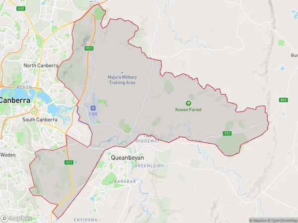
Canberra East Suburbs & Region, Canberra East Map & Postcodes
Canberra East Suburbs & Region, Canberra East Map & Postcodes in Canberra East, Australian Capital Territory, ACT, AU
Canberra East Region
Region Name
Canberra East (ACT, AU)Canberra East Area
211.8 square kilometers (211.8 ㎢)Canberra East Introduction
Canberra East is a suburb located in the Australian Capital Territory (ACT) in Australia. It is part of the Canberra Central district and is situated in the northern part of the city. Canberra East is bordered by the Molonglo River to the east, the Tuggeranong Creek to the south, and the Australian Capital Territory (ACT) border to the north. The suburb is named after the Canberra East Cemetery, which was established in 1868. Canberra East is a relatively new suburb, with most of the development occurring in the 1990s and 2000s. The suburb is home to a variety of amenities, including a shopping center, a medical center, and several parks. It is also well-connected to other parts of the city, with easy access to the Canberra CBD and the surrounding suburbs.Australia State
City or Big Region
Greater Capital City
Australian Capital Territory (8ACTE)District or Regional Area
Canberra East Suburbs
Canberra East full address
Canberra East, Australian Capital Territory, ACT, Australia, SaCode: 80103Country
Canberra East, Australian Capital Territory, ACT, Australia, SaCode: 80103
Canberra East Suburbs & Region, Canberra East Map & Postcodes has 0 areas or regions above, and there are 0 Canberra East suburbs below. The sa3code for the Canberra East region is 80103. Canberra East area belongs to Australia's greater capital city Australian Capital Territory.
