Russell Hill Area, Russell Hill Postcode(2600) & Map in Russell Hill, Australian Capital Territory, ACT
Russell Hill Area, Russell Hill Postcode(2600) & Map in Russell Hill, Australian Capital Territory, ACT, AU, Postcode: 2600
Russell Hill, Russell, North Canberra, Australian Capital Territory, Australian Capital Territory, Australia, 2600
Russell Hill Postcode
Area Name
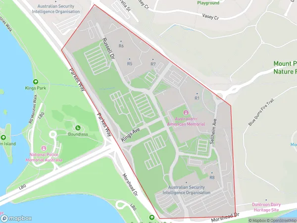
Russell HillRussell Hill Suburb Area Map (Polygon)

Russell Hill Introduction
Russell Hill is a suburb in Canberra, Australian Capital Territory, Australia. It is located in the northern suburbs and is bordered by the Molonglo River to the north, the Gungahlin Drive to the east, and the Barton Highway to the south. The suburb is named after Sir John Russell, who was the Governor-General of Australia from 1880 to 1885. Russell Hill has a population of around 5,000 people and is home to a variety of residential properties, including apartments, townhouses, and detached homes. The suburb is also home to a number of government agencies, including the Australian Taxation Office and the Department of Defence.State Name
City or Big Region
District or Regional Area
Suburb Name
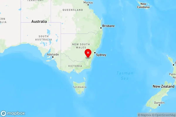
Russell Hill Region Map

Country
Main Region in AU
R2Coordinates
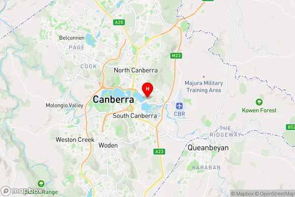
-35.2966,149.149 (latitude/longitude)Russell Hill Area Map (Street)

Longitude
149.201072Latitude
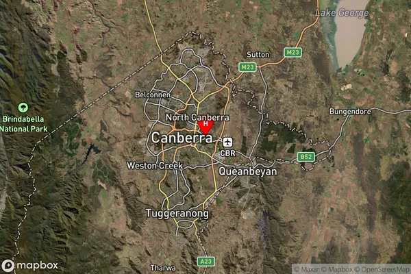
-35.302911Russell Hill Suburb Map (Satellite)

Distances
The distance from Russell Hill, Australian Capital Territory, ACT to AU Greater Capital CitiesSA1 Code 2011
80105105209SA1 Code 2016
80105112801SA2 Code
801051128SA3 Code
80105SA4 Code
801RA 2011
1RA 2016
1MMM 2015
1MMM 2019
1Charge Zone
N2LGA Region
Unincorporated ACTLGA Code
89399Electorate
Canberra