Parkes (ACT) South Suburbs & Region, Parkes (ACT) South Map & Postcodes
Parkes (ACT) South Suburbs & Region, Parkes (ACT) South Map & Postcodes in Parkes (ACT) South, Woden, Australian Capital Territory, ACT, AU
Parkes (ACT) South Region
Region Name
Parkes (ACT) South (ACT, AU)Parkes (ACT) South Area
1.81 square kilometers (1.81 ㎢)Postal Codes
2600 (In total, there are 1 postcodes in Parkes (ACT) South.)Parkes (ACT) South Introduction
Parkes (ACT) South is a suburb in the Australian Capital Territory (ACT) located in the Parkes region. It is situated approximately 25 kilometers southwest of the ACT's capital city, Canberra. The suburb is named after Sir Henry Parkes, a prominent Australian politician and inventor. Parkes is known for its agricultural industry, with a large number of farms and wineries located in the area. The Parkes Observatory, which is part of the Australian National University, is also located in Parkes. The observatory is used for research in astronomy and astrophysics and is home to the largest radio telescope in the Southern Hemisphere. The suburb has a population of approximately 11,000 people and is surrounded by beautiful countryside. It is a popular destination for tourists, with many visitors coming to see the Parkes Observatory and the surrounding farmland. The suburb also has a number of parks and recreational facilities, including a golf course and a swimming pool.Australia State
City or Big Region
Greater Capital City
Australian Capital Territory (8ACTE)District or Regional Area
Suburb Name
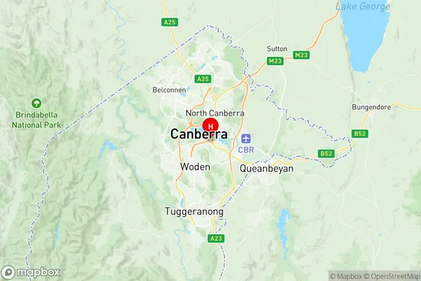
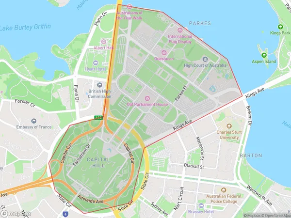
Parkes (ACT) South Region Map

Parkes (ACT) South Postcodes / Zip Codes
Parkes (ACT) South Suburbs
Parkes (ACT) South full address
Parkes (ACT) South, Woden, Australian Capital Territory, ACT, Australia, SaCode: 801061068Country
Parkes (ACT) South, Woden, Australian Capital Territory, ACT, Australia, SaCode: 801061068
Parkes (ACT) South Suburbs & Region, Parkes (ACT) South Map & Postcodes has 0 areas or regions above, and there are 3 Parkes (ACT) South suburbs below. The sa2code for the Parkes (ACT) South region is 801061068. Its latitude and longitude coordinates are -35.3081,149.124. Parkes (ACT) South area belongs to Australia's greater capital city Australian Capital Territory.
Parkes (ACT) South Suburbs & Localities
1. Capital Hill
2. Parkes
3. Parliament House
