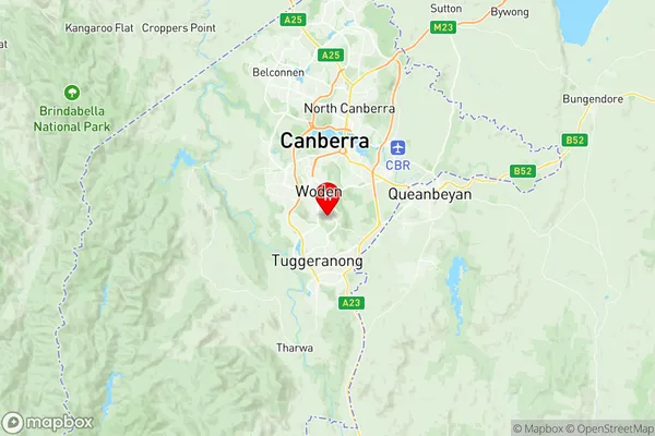
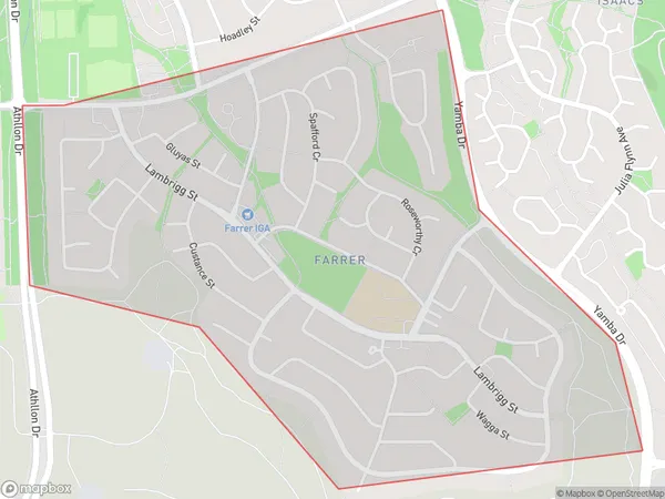
Farrer Suburbs & Region, Farrer Map & Postcodes
Farrer Suburbs & Region, Farrer Map & Postcodes in Farrer, Woden, Australian Capital Territory, ACT, AU
Farrer Region
Region Name
Farrer (ACT, AU)Farrer Area
2.07 square kilometers (2.07 ㎢)Postal Codes
2607 (In total, there are 1 postcodes in Farrer.)Farrer Introduction
Farrer is an Australian suburb located in the Australian Capital Territory (ACT). It is located in the district of Molonglo and is named after Sir John Farrer, who was a politician and judge in the early 19th century. Farrer is a popular suburb with a mix of residential and commercial properties. It is home to a number of government institutions, including the Australian Parliament House and the High Court of Australia. The suburb also has a number of parks and recreational facilities, including the Farrer Memorial Park and the Molonglo River.Australia State
City or Big Region
Greater Capital City
Australian Capital Territory (8ACTE)District or Regional Area
Suburb Name
Farrer Region Map

Farrer Postcodes / Zip Codes
Farrer Suburbs
Farrer full address
Farrer, Woden, Australian Capital Territory, ACT, Australia, SaCode: 801091101Country
Farrer, Woden, Australian Capital Territory, ACT, Australia, SaCode: 801091101
Farrer Suburbs & Region, Farrer Map & Postcodes has 0 areas or regions above, and there are 1 Farrer suburbs below. The sa2code for the Farrer region is 801091101. Its latitude and longitude coordinates are -35.3772,149.105. Farrer area belongs to Australia's greater capital city Australian Capital Territory.
Farrer Suburbs & Localities
1. Farrer
