Yarralumla Area, Yarralumla Postcode(2600) & Map in Yarralumla, Australian Capital Territory, ACT
Yarralumla Area, Yarralumla Postcode(2600) & Map in Yarralumla, Australian Capital Territory, ACT, AU, Postcode: 2600
Yarralumla, Yarralumla, South Canberra, Australian Capital Territory, Australian Capital Territory, Australia, 2600
Yarralumla Postcode
Area Name
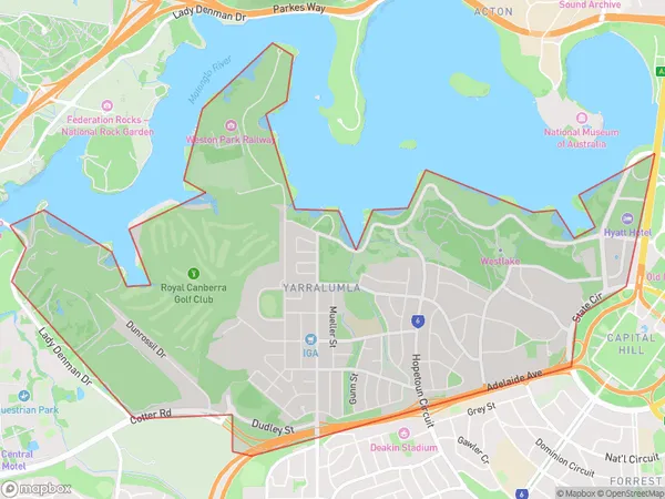
YarralumlaYarralumla Suburb Area Map (Polygon)
Yarralumla Introduction
Yarralumla is a suburb in the Australian Capital Territory (ACT) in Australia. It is located in the northern part of the city and is bordered by the Molonglo River to the east, Lake Burley Griffin to the south, and the Australian National University to the west. The suburb is named after the Yarralumla Creek, which flows through it. Yarralumla has a rich history and was once the home of the Ngunnawal people. It was developed as a residential suburb in the early 20th century and is now a popular residential area with a mix of apartments, houses, and government buildings. The suburb is well-known for its beautiful gardens, including the Yarralumla Botanic Gardens, which is home to a diverse range of plant species. It is also home to several important government institutions, including the Australian Parliament House and the High Court of Australia.State Name
City or Big Region
District or Regional Area
Suburb Name
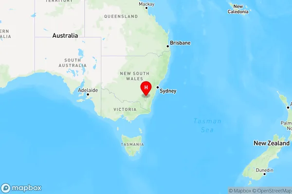
Yarralumla Region Map
Country
Main Region in AU
R2Coordinates
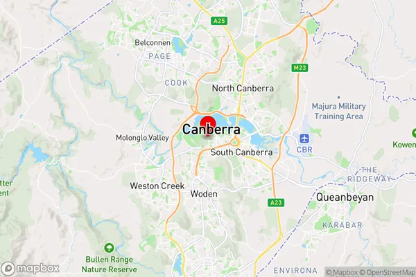
-35.305092,149.098098 (latitude/longitude)Yarralumla Area Map (Street)
Longitude
149.201072Latitude
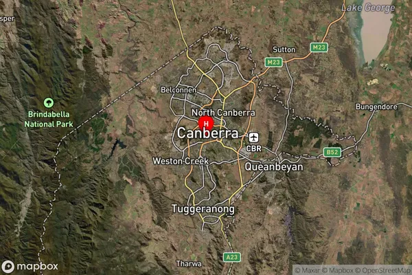
-35.302911Yarralumla Suburb Map (Satellite)
Distances
The distance from Yarralumla, Australian Capital Territory, ACT to AU Greater Capital CitiesSA1 Code 2011
80106107003SA1 Code 2016
80106107003SA2 Code
801061070SA3 Code
80106SA4 Code
801RA 2011
1RA 2016
1MMM 2015
1MMM 2019
1Charge Zone
N2LGA Region
Unincorporated ACTLGA Code
89399Electorate
Canberra