Hughes Suburbs & Region, Hughes Map & Postcodes
Hughes Suburbs & Region, Hughes Map & Postcodes in Hughes, Woden, Australian Capital Territory, ACT, AU
Hughes Region
Region Name
Hughes (ACT, AU)Hughes Area
1.79 square kilometers (1.79 ㎢)Postal Codes
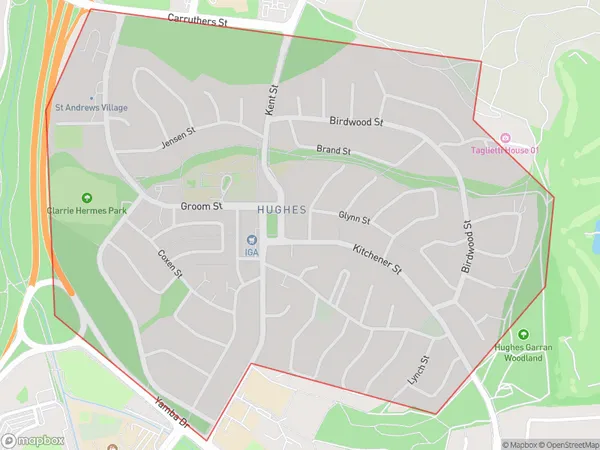
2605 (In total, there are 1 postcodes in Hughes.)Hughes Suburb Area Map (Polygon)
Hughes Introduction
Hughes is a suburb in the Canberra district of Australian Capital Territory, Australia. It is located in the northern part of the district and is bordered by the Molonglo River to the north, the Gungahlin Drive to the east, and the Barton Highway to the south. The suburb was named after Thomas Hughes, who was a surveyor and politician in the early days of Australian settlement. Hughes is a popular residential area with a mix of detached houses, townhouses, and apartments. It has a number of parks and recreational facilities, including a swimming pool, a tennis court, and a basketball court. The suburb is also home to a number of government agencies, including the Australian Bureau of Statistics and the Australian Taxation Office.Australia State
City or Big Region
Greater Capital City
Australian Capital Territory (8ACTE)District or Regional Area
Suburb Name
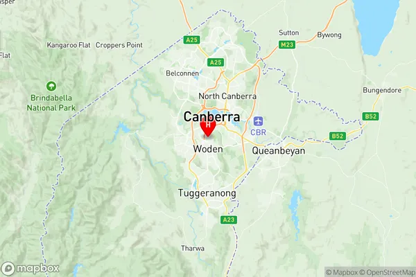
Hughes Region Map
Hughes Postcodes / Zip Codes
Hughes Suburbs
Hughes full address
Hughes, Woden, Australian Capital Territory, ACT, Australia, SaCode: 801091103Country
Hughes, Woden, Australian Capital Territory, ACT, Australia, SaCode: 801091103
Hughes Suburbs & Region, Hughes Map & Postcodes has 0 areas or regions above, and there are 1 Hughes suburbs below. The sa2code for the Hughes region is 801091103. Its latitude and longitude coordinates are -35.333,149.094. Hughes area belongs to Australia's greater capital city Australian Capital Territory.
Hughes Suburbs & Localities
1. Hughes