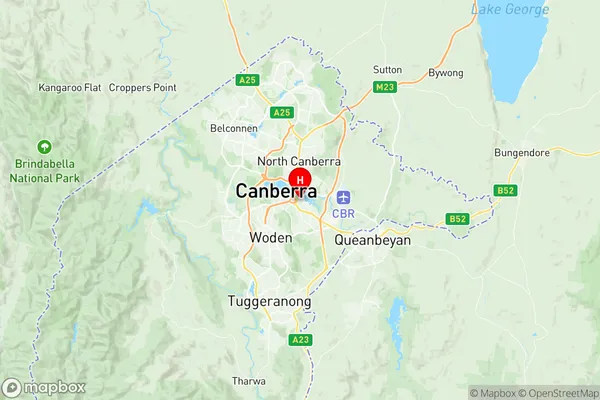
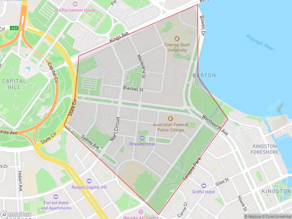
Barton Suburbs & Region, Barton Map & Postcodes
Barton Suburbs & Region, Barton Map & Postcodes in Barton, Woden, Australian Capital Territory, ACT, AU
Barton Region
Region Name
Barton (ACT, AU)Barton Area
1.19 square kilometers (1.19 ㎢)Postal Codes
2600 (In total, there are 1 postcodes in Barton.)Barton Introduction
Barton is an Australian suburb located in the northern part of the Australian Capital Territory (ACT). It is part of the Canberra Central Business District and is bordered by the Molonglo River to the east, Lake Burley Griffin to the south, and the Australian Parliament House to the west. Barton is known for its vibrant cultural scene, with numerous galleries, museums, and theatres located within its boundaries. The suburb also boasts a variety of shopping centers, including the Barton Plaza and the Westfield Woden. Barton is well-connected to other parts of the city, with several bus routes and the Canberra Metro located within walking distance. The suburb is home to a diverse population, with a mix of young professionals, families, and retirees.Australia State
City or Big Region
Greater Capital City
Australian Capital Territory (8ACTE)District or Regional Area
Suburb Name
Barton Region Map

Barton Postcodes / Zip Codes
Barton Suburbs
Barton full address
Barton, Woden, Australian Capital Territory, ACT, Australia, SaCode: 801061129Country
Barton, Woden, Australian Capital Territory, ACT, Australia, SaCode: 801061129
Barton Suburbs & Region, Barton Map & Postcodes has 0 areas or regions above, and there are 1 Barton suburbs below. The sa2code for the Barton region is 801061129. Its latitude and longitude coordinates are -35.3078,149.134. Barton area belongs to Australia's greater capital city Australian Capital Territory.
Barton Suburbs & Localities
1. Barton
