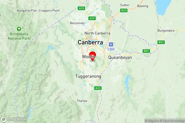
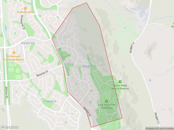
Isaacs Suburbs & Region, Isaacs Map & Postcodes
Isaacs Suburbs & Region, Isaacs Map & Postcodes in Isaacs, Woden, Australian Capital Territory, ACT, AU
Isaacs Region
Region Name
Isaacs (ACT, AU)Isaacs Area
3.09 square kilometers (3.09 ㎢)Postal Codes
2607 (In total, there are 1 postcodes in Isaacs.)Isaacs Introduction
Isaacs is a suburb in the Australian Capital Territory (ACT) located in the northern part of the city. It is named after Sir Isaac Isaacs, who was a prominent Australian politician and judge. The suburb is bordered by the Molonglo River to the north, the Gungahlin Drive to the east, the Barton Highway to the south, and the Monaro Highway to the west. Isaacs is a relatively new suburb, with most of the development occurring in the 1990s and 2000s. It is a popular residential area with a mix of houses, apartments, and townhouses. The suburb has a number of parks and recreational facilities, including a swimming pool, a basketball court, and a community center. Isaacs is well-connected to the rest of the city, with public transportation options including buses and light rail. The suburb is also home to a number of major shopping centers, including the Isaacs Shopping Centre and the Gungahlin Town Centre. In terms of education, Isaacs is served by a number of schools, including Isaacs Primary School, Canberra Grammar School, and Canberra College. The suburb is also home to the Australian National University's Canberra campus. Overall, Isaacs is a vibrant and growing suburb with a lot to offer its residents. Its convenient location, well-developed infrastructure, and diverse community make it an attractive place to live and work.Australia State
City or Big Region
Greater Capital City
Australian Capital Territory (8ACTE)District or Regional Area
Suburb Name
Isaacs Region Map

Isaacs Postcodes / Zip Codes
Isaacs Suburbs
Isaacs full address
Isaacs, Woden, Australian Capital Territory, ACT, Australia, SaCode: 801091104Country
Isaacs, Woden, Australian Capital Territory, ACT, Australia, SaCode: 801091104
Isaacs Suburbs & Region, Isaacs Map & Postcodes has 0 areas or regions above, and there are 1 Isaacs suburbs below. The sa2code for the Isaacs region is 801091104. Its latitude and longitude coordinates are -35.3675,149.111. Isaacs area belongs to Australia's greater capital city Australian Capital Territory.
Isaacs Suburbs & Localities
1. Isaacs
