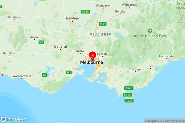
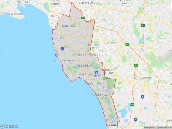
Melbourne Inner South Suburbs & Region, Melbourne Inner South Map & Postcodes
Melbourne Inner South Suburbs & Region, Melbourne Inner South Map & Postcodes in Melbourne Inner South, VIC, AU
Melbourne Inner South Region
Region Name
Melbourne Inner South (VIC, AU)Melbourne Inner South Area
161.5 square kilometers (161.5 ㎢)Postal Codes
3122, from 3144 to 3146, from 3161 to 3163, 3165, 3183, from 3185 to 3196, 3202, and 3204 (In total, there are 23 postcodes in Melbourne Inner South.)Melbourne Inner South Introduction
Melbourne Inner South is a suburb of Melbourne, Victoria, Australia, 3 km south-east of Melbourne's central business district. Its local government area is the City of Port Phillip. At the 2016 Census, Melbourne Inner South had a population of 13,406. The suburb is represented by two members of the Victorian Legislative Council, with the Labor Party holding both seats. The suburb is part of the federal Division of Melbourne, represented by Josh Frydenberg of the Liberal Party. The suburb is home to a number of significant landmarks, including the Royal Exhibition Building, Southbank Promenade, and the Melbourne Convention and Exhibition Centre. It is also home to a number of popular parks, including Albert Park Lake and Queen Victoria Gardens.Australia State
City or Big Region
Melbourne Inner South Region Map

Melbourne Inner South Postcodes / Zip Codes
Melbourne Inner South Suburbs
Stonnington East
Melbourne Inner South full address
Melbourne Inner South, Victoria, VIC, Australia, SaCode: 208Country
Melbourne Inner South, Victoria, VIC, Australia, SaCode: 208
Melbourne Inner South Suburbs & Region, Melbourne Inner South Map & Postcodes has 4 areas or regions above, and there are 73 Melbourne Inner South suburbs below. The sa4code for the Melbourne Inner South region is 208. Its latitude and longitude coordinates are -37.9044,145.
Melbourne Inner South Suburbs & Localities
1. St Kilda East
2. Ripponlea
3. Hawthorn
4. Cromer
5. Brighton North
6. Brighton East
7. Highett
8. Hampton East
9. Sandringham
10. Mckinnon
11. Carnegie
12. Caulfield Junction
13. Caulfield East
14. Caulfield
15. Coatesville
16. Aspendale Gardens
17. Chelsea
18. Cheltenham
19. Mentone
20. Wishart
21. Heatherton
22. Kooyong
23. Glen Iris
