Sandringham Area, Sandringham Postcode(3191) & Map in Sandringham, Melbourne - Inner South, VIC
Sandringham Area, Sandringham Postcode(3191) & Map in Sandringham, Melbourne - Inner South, VIC, AU, Postcode: 3191
Sandringham, Sandringham - Black Rock, Bayside, Melbourne - Inner South, Victoria, Australia, 3191
Sandringham Postcode
Area Name
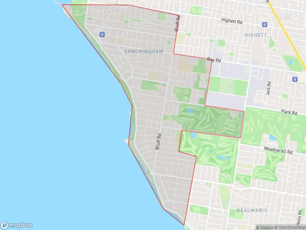
SandringhamSandringham Suburb Area Map (Polygon)

Sandringham Introduction
Sandringham is a suburb in Melbourne's inner south, located 10 kilometers southeast of the city center. It is well-known for its large mansions, tree-lined streets, and peaceful atmosphere. Sandringham has a rich history and was once home to the wealthy Sandringham family. The suburb has a variety of shops, cafes, and restaurants, as well as several parks and recreational facilities. It is also home to the Sandringham Football Club, which is a prominent Australian Rules Football Club.State Name
City or Big Region
District or Regional Area
Suburb Name
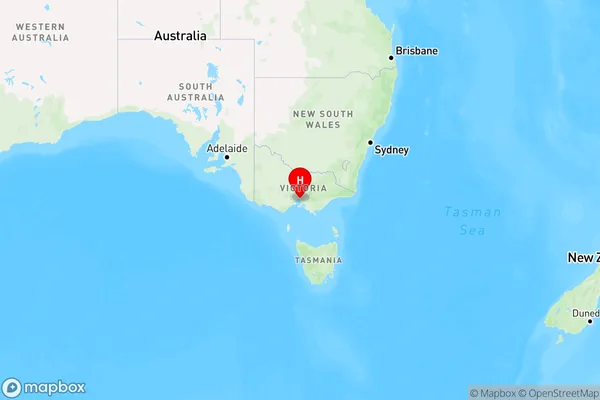
Sandringham Region Map

Country
Main Region in AU
R1Coordinates
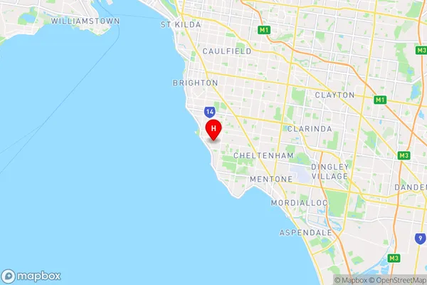
-37.9533967,145.0135139 (latitude/longitude)Sandringham Area Map (Street)

Longitude
145.013472Latitude
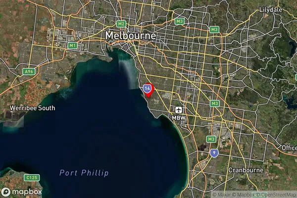
-37.956585Sandringham Suburb Map (Satellite)

Distances
The distance from Sandringham, Melbourne - Inner South, VIC to AU Greater Capital CitiesSA1 Code 2011
20801117316SA1 Code 2016
20801117316SA2 Code
208011173SA3 Code
20801SA4 Code
208RA 2011
1RA 2016
1MMM 2015
1MMM 2019
1Charge Zone
V1LGA Region
BaysideLGA Code
20910Electorate
Goldstein