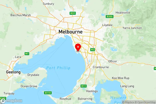
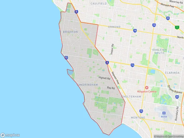
Bayside Suburbs & Region, Bayside Map & Postcodes
Bayside Suburbs & Region, Bayside Map & Postcodes in Bayside, Melbourne Inner South, VIC, AU
Bayside Region
Region Name
Bayside (VIC, AU)Bayside Area
37.21 square kilometers (37.21 ㎢)Postal Codes
3186, 3188, 3191, and 3193 (In total, there are 4 postcodes in Bayside.)Bayside Introduction
Bayside is a suburb in Melbourne, Australia, 8 km south-east of Melbourne's central business district (CBD). Its local government area is the City of Bayside. At the 2016 Census, Bayside had a population of 47,219. Bayside is well known for its beaches, parks, and gardens. Sandringham Beach is one of the most popular beaches in the area, and it is home to the Sandringham Yacht Club. Bayside also has several parks, including Albert Park Lake, which is a popular spot for swimming, boating, and picnicking. The suburb is also home to several gardens, including the Royal Botanic Gardens, which is one of the world's largest and most diverse botanical gardens.Australia State
City or Big Region
District or Regional Area
Bayside Region Map

Bayside Postcodes / Zip Codes
Bayside Suburbs
Brighton (Vic.)
Sandringham Black Rock
Bayside full address
Bayside, Melbourne Inner South, Victoria, VIC, Australia, SaCode: 20801Country
Bayside, Melbourne Inner South, Victoria, VIC, Australia, SaCode: 20801
Bayside Suburbs & Region, Bayside Map & Postcodes has 4 areas or regions above, and there are 12 Bayside suburbs below. The sa3code for the Bayside region is 20801. Its latitude and longitude coordinates are -37.983,145.043.
Bayside Suburbs & Localities
1. Brighton North
2. Were Street Po
3. Hampton East
4. Sandringham
5. Black Rock North
6. Cromer
7. Dendy
8. Black Rock
9. Hampton North
10. Brighton
11. Hampton
12. Beaumaris
