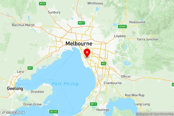
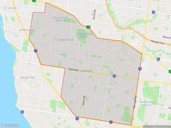
Glen Eira Suburbs & Region, Glen Eira Map & Postcodes
Glen Eira Suburbs & Region, Glen Eira Map & Postcodes in Glen Eira, Melbourne Inner South, VIC, AU
Glen Eira Region
Region Name
Glen Eira (VIC, AU)Glen Eira Area
40.7 square kilometers (40.7 ㎢)Postal Codes
from 3161 to 3163, 3165, 3183, 3185, 3187, and 3204 (In total, there are 8 postcodes in Glen Eira.)Glen Eira Introduction
Glen Eira is a suburb in Melbourne, Australia, 11 kilometers south-east of Melbourne's central business district. Its local government area is the City of Glen Eira. At the 2016 census, Glen Eira had a population of 32,540. The suburb is named after the Glen Eira Creek, which flows through it from the Dandenong Ranges to Port Phillip. The creek was named by Lieutenant James Grant in 1839 after the Glen Eira Estate, which was owned by his uncle, Sir George Elphinstone. Glen Eira has a variety of shops, restaurants, and parks, including the Glen Eira Sports and Aquatic Centre, which is home to the Melbourne Storm rugby league team. The suburb also has several large parks, including Kings Park, which is the largest park in Melbourne. Glen Eira is well-connected to the rest of Melbourne, with several bus routes and the Monash Freeway nearby. It is also home to several major hospitals, including the Alfred Hospital and the Monash Medical Centre.Australia State
City or Big Region
District or Regional Area
Glen Eira Region Map

Glen Eira Postcodes / Zip Codes
Glen Eira Suburbs
Bentleigh McKinnon
Caulfield North
Caulfield South
Ormond Glen Huntly
Bentleigh East (North)
Bentleigh East South
Glen Eira full address
Glen Eira, Melbourne Inner South, Victoria, VIC, Australia, SaCode: 20802Country
Glen Eira, Melbourne Inner South, Victoria, VIC, Australia, SaCode: 20802
Glen Eira Suburbs & Region, Glen Eira Map & Postcodes has 11 areas or regions above, and there are 22 Glen Eira suburbs below. The sa3code for the Glen Eira region is 20802. Its latitude and longitude coordinates are -37.9224,145.041.
Glen Eira Suburbs & Localities
1. Caulfield
2. Glen Huntly
3. Murrumbeena
4. Coatesville
5. St Kilda East
6. Brighton East
7. Mckinnon
8. Patterson
9. Caulfield Junction
10. Caulfield South
11. Balaclava
12. Elsternwick
13. North Road
14. Caulfield North
15. Hopetoun Gardens
16. Booran Road Po
17. Carnegie
18. Bentleigh East
19. Gardenvale
20. Ripponlea
21. Bentleigh
22. Ormond
