Booran Road Po Area, Booran Road Po Postcode(3163) & Map in Booran Road Po, Melbourne - Inner South, VIC
Booran Road Po Area, Booran Road Po Postcode(3163) & Map in Booran Road Po, Melbourne - Inner South, VIC, AU, Postcode: 3163
Booran Road Po, Caulfield - South, Glen Eira, Melbourne - Inner South, Victoria, Australia, 3163
Booran Road Po Postcode
Area Name
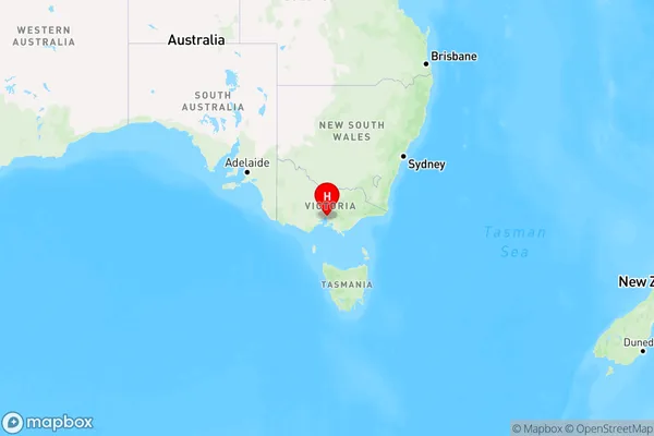
Booran Road PoBooran Road Po Suburb Area Map (Polygon)

Booran Road Po Introduction
Booran Road Po is located in Melbourne's inner south, bounded by Dandenong Creek, Springvale Road, and the Monash Freeway. It is a residential area with a mix of houses and apartments. The postcode is 3168, and it falls within the City of Monash local government area. Booran Road Po is known for its peaceful atmosphere and convenient location, with easy access to shopping centers, schools, and public transportation.State Name
City or Big Region
District or Regional Area
Suburb Name
Booran Road Po Region Map

Country
Main Region in AU
R1Coordinates
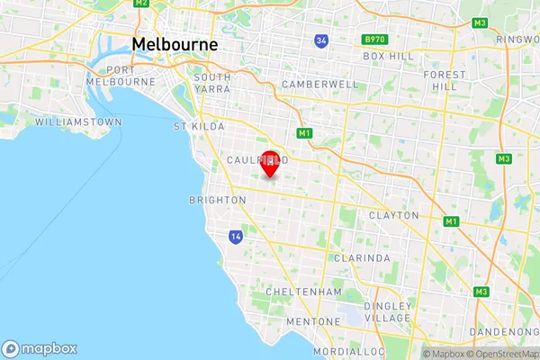
-37.896,145.036 (latitude/longitude)Booran Road Po Area Map (Street)

Longitude
145.057237Latitude
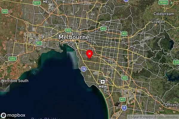
-37.896497Booran Road Po Suburb Map (Satellite)

Distances
The distance from Booran Road Po, Melbourne - Inner South, VIC to AU Greater Capital CitiesSA1 Code 2011
20802117811SA1 Code 2016
20802117811SA2 Code
208021178SA3 Code
20802SA4 Code
208RA 2011
1RA 2016
1MMM 2015
1MMM 2019
1Charge Zone
V1LGA Region
Glen EiraLGA Code
22310Electorate
Macnamara