Hopetoun Gardens Area, Hopetoun Gardens Postcode(3162) & Map in Hopetoun Gardens, Melbourne - Inner South, VIC
Hopetoun Gardens Area, Hopetoun Gardens Postcode(3162) & Map in Hopetoun Gardens, Melbourne - Inner South, VIC, AU, Postcode: 3162
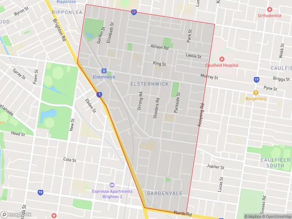
Hopetoun Gardens, Elsternwick, Glen Eira, Melbourne - Inner South, Victoria, Australia, 3162
Hopetoun Gardens Postcode
Area Name
Hopetoun GardensHopetoun Gardens Suburb Area Map (Polygon)

Hopetoun Gardens Introduction
Hopetoun Gardens is a historic mansion located in Melbourne, Australia, in the Inner South suburb of Richmond. It was designed by John Buckeridge and built in 1861-1863 for William Lamb, 2nd Viscount Melbourne. The mansion is renowned for its beautiful gardens, which feature a variety of exotic plants and trees from around the world. It is also a popular wedding venue and is open to the public for tours.State Name
City or Big Region
District or Regional Area
Suburb Name
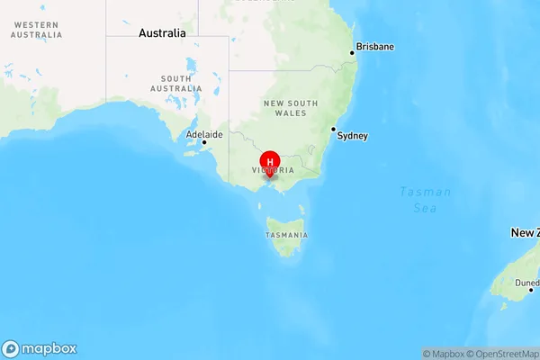
Hopetoun Gardens Region Map

Country
Main Region in AU
R1Coordinates
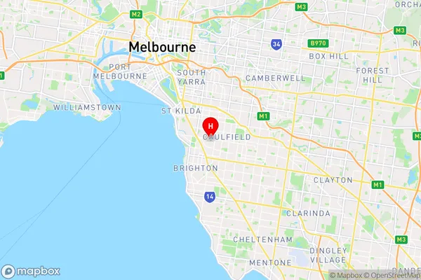
-37.8862817,145.010627 (latitude/longitude)Hopetoun Gardens Area Map (Street)

Longitude
145.023394Latitude
-37.892139Hopetoun Gardens Elevation
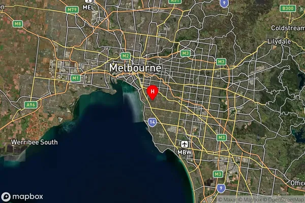
about 25.58 meters height above sea level (Altitude)Hopetoun Gardens Suburb Map (Satellite)

Distances
The distance from Hopetoun Gardens, Melbourne - Inner South, VIC to AU Greater Capital CitiesSA1 Code 2011
20802117918SA1 Code 2016
20802117918SA2 Code
208021179SA3 Code
20802SA4 Code
208RA 2011
1RA 2016
1MMM 2015
1MMM 2019
1Charge Zone
V1LGA Region
Glen EiraLGA Code
22310Electorate
Macnamara