Coatesville Area, Coatesville Postcode(3165) & Map in Coatesville, Melbourne - Inner South, VIC
Coatesville Area, Coatesville Postcode(3165) & Map in Coatesville, Melbourne - Inner South, VIC, AU, Postcode: 3165
Coatesville, Bentleigh East (North), Glen Eira, Melbourne - Inner South, Victoria, Australia, 3165
Coatesville Postcode
Area Name
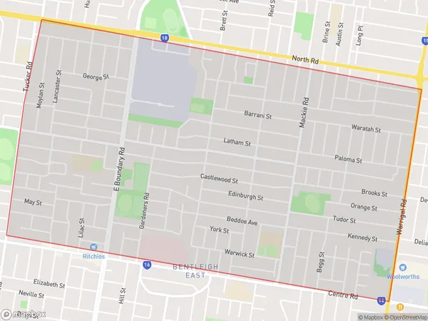
CoatesvilleCoatesville Suburb Area Map (Polygon)

Coatesville Introduction
Coatesville is a suburb in Melbourne's inner south, located 7 kilometers from the CBD. It is known for its historic homes and peaceful atmosphere. The suburb has a variety of shops, cafes, and parks, including the Coatesville Reserve and the Coatesville Primary School. Coatesville is well-connected to public transport, with buses and trains servicing the area. The suburb has a diverse population, with a mix of young professionals and families.State Name
City or Big Region
District or Regional Area
Suburb Name
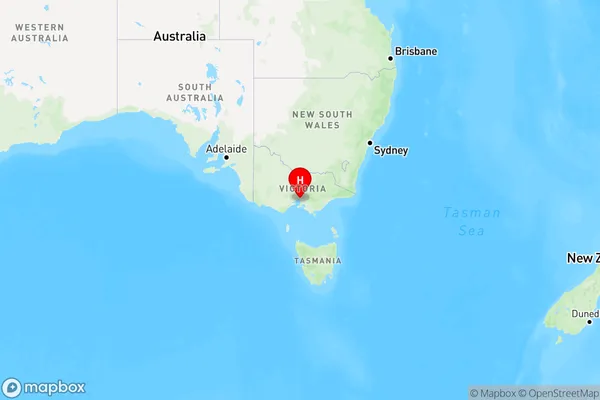
Coatesville Region Map

Country
Main Region in AU
R1Coordinates
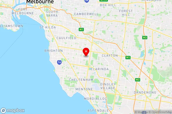
-37.9201018,145.0736344 (latitude/longitude)Coatesville Area Map (Street)

Longitude
145.059426Latitude
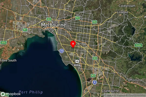
-37.922369Coatesville Suburb Map (Satellite)

Distances
The distance from Coatesville, Melbourne - Inner South, VIC to AU Greater Capital CitiesSA1 Code 2011
20802117543SA1 Code 2016
20802142606SA2 Code
208021426SA3 Code
20802SA4 Code
208RA 2011
1RA 2016
1MMM 2015
1MMM 2019
1Charge Zone
V1LGA Region
Glen EiraLGA Code
22310Electorate
Hotham