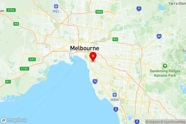
St Kilda East Suburbs & Region, St Kilda East Map & Postcodes
St Kilda East Suburbs & Region, St Kilda East Map & Postcodes in St Kilda East, Glen Eira, Melbourne Inner South, VIC, AU
St Kilda East Region
Region Name
St Kilda East (VIC, AU)St Kilda East Area
2.41 square kilometers (2.41 ㎢)St Kilda East Introduction
St Kilda East is a suburb in Melbourne, Victoria, Australia, 3 km south-east of Melbourne's central business district (CBD). Its local government area is the City of Port Phillip. At the 2016 Census, St Kilda East had a population of 10,279. The suburb is named after Saint Kilda, a Scottish island. It is bounded by Carlisle Street to the north, Balaclava Road to the east, Inkerman Street to the south, and Alma Road to the west. St Kilda East is a popular residential area with a mix of apartments, houses, and townhouses. It is known for its vibrant arts and culture scene, with many galleries, museums, and theatres located in the area. The suburb also has a popular beach, St Kilda Beach, which is a popular destination for swimmers, sunbathers, and surfers.Australia State
City or Big Region
Greater Capital City
Greater Melbourne (2GMEL)District or Regional Area
Suburb Name
St Kilda East Region Map

St Kilda East Suburbs
St Kilda East full address
St Kilda East, Glen Eira, Melbourne Inner South, Victoria, VIC, Australia, SaCode: 206051134Country
St Kilda East, Glen Eira, Melbourne Inner South, Victoria, VIC, Australia, SaCode: 206051134
St Kilda East Suburbs & Region, St Kilda East Map & Postcodes has 0 areas or regions above, and there are 0 St Kilda East suburbs below. The sa2code for the St Kilda East region is 206051134. Its latitude and longitude coordinates are -37.8626,145.001. St Kilda East area belongs to Australia's greater capital city Greater Melbourne.
