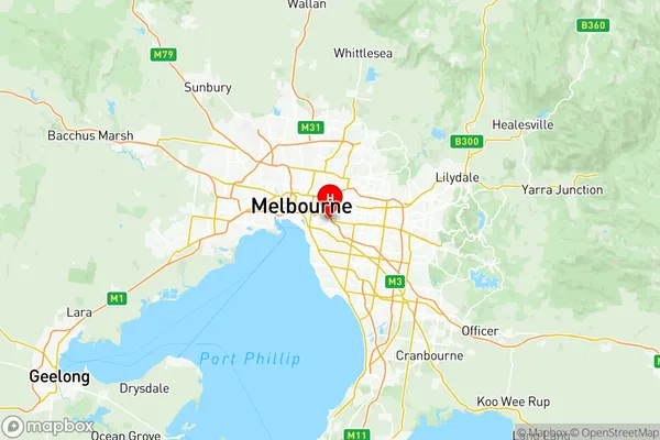
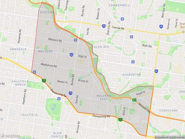
Stonnington East Suburbs & Region, Stonnington East Map & Postcodes
Stonnington East Suburbs & Region, Stonnington East Map & Postcodes in Stonnington East, Melbourne Inner South, VIC, AU
Stonnington East Region
Region Name
Stonnington East (VIC, AU)Stonnington East Area
13.72 square kilometers (13.72 ㎢)Postal Codes
3122, and from 3144 to 3146 (In total, there are 4 postcodes in Stonnington East.)Stonnington East Introduction
Stonnington East is a suburb in Melbourne, Australia, 8 km south-east of Melbourne's central business district. Its local government area is the City of Stonnington. At the 2016 Census, Stonnington East had a population of 11,247. The suburb is named after the former Stonnington railway station, which was located on the Prahran railway line. The station was opened in 1889 and closed in 1966. Stonnington East is a popular suburb for families and young professionals due to its convenient location, well-maintained parks, and excellent public transport links. It is also home to a number of popular cafes, restaurants, and retail stores. The suburb is well-connected to the rest of Melbourne, with easy access to the Monash Freeway, EastLink, and public transport. It is also within walking distance of the Caulfield Racecourse and the Melbourne Cricket Ground.Australia State
City or Big Region
District or Regional Area
Stonnington East Region Map

Stonnington East Postcodes / Zip Codes
Stonnington East Suburbs
Malvern Glen Iris
Stonnington East full address
Stonnington East, Melbourne Inner South, Victoria, VIC, Australia, SaCode: 20804Country
Stonnington East, Melbourne Inner South, Victoria, VIC, Australia, SaCode: 20804
Stonnington East Suburbs & Region, Stonnington East Map & Postcodes has 1 areas or regions above, and there are 16 Stonnington East suburbs below. The sa3code for the Stonnington East region is 20804. Its latitude and longitude coordinates are -37.8419,145.035.
Stonnington East Suburbs & Localities
1. Kooyong
2. Malvern
3. Darling
4. Auburn South
5. Hawthorn
6. Glenferrie South
7. Hawthorn North
8. Hawthorn West
9. Malvern North
10. Central Park
11. Malvern East
12. Wattletree Road Po
13. Caulfield East
14. Darling South
15. Glen Iris
16. Tooronga
