Hawthorn Area, Hawthorn Postcode(3122) & Map in Hawthorn, Melbourne - Inner East, VIC
Hawthorn Area, Hawthorn Postcode(3122) & Map in Hawthorn, Melbourne - Inner East, VIC, AU, Postcode: 3122
Hawthorn, Hawthorn, Boroondara, Melbourne - Inner East, Victoria, Australia, 3122
Hawthorn Postcode
Area Name
HawthornHawthorn Suburb Area Map (Polygon)

Hawthorn Introduction
Hawthorn is a suburb in Melbourne, Australia, 6 km east of the central business district. It is known for its rich cultural heritage and vibrant community. The suburb has a variety of housing styles, from grand Victorian mansions to modern apartments. Hawthorn has many parks and gardens, including the famous Glenferrie Oval and the Hawthorn Aquatic Centre. It is also home to a number of prestigious universities, including the University of Melbourne and Monash University.State Name
City or Big Region
District or Regional Area
Suburb Name
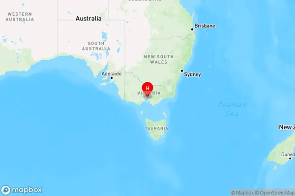
Hawthorn Region Map

Country
Main Region in AU
R1Coordinates
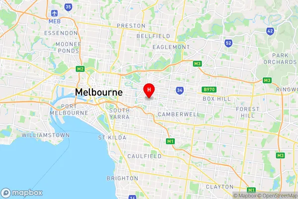
-37.8222114,145.0328017 (latitude/longitude)Hawthorn Area Map (Street)

Longitude
145.030602Latitude
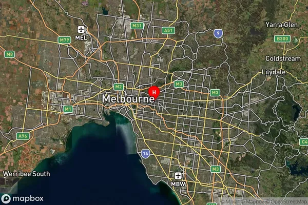
-37.822725Hawthorn Suburb Map (Satellite)

Distances
The distance from Hawthorn, Melbourne - Inner East, VIC to AU Greater Capital CitiesSA1 Code 2011
20701115118SA1 Code 2016
20701115118SA2 Code
207011151SA3 Code
20701SA4 Code
207RA 2011
1RA 2016
1MMM 2015
1MMM 2019
1Charge Zone
V1LGA Region
BoroondaraLGA Code
21110Electorate
Kooyong