Darling Area, Darling Postcode(3145) & Map in Darling, Melbourne - Inner South, VIC
Darling Area, Darling Postcode(3145) & Map in Darling, Melbourne - Inner South, VIC, AU, Postcode: 3145
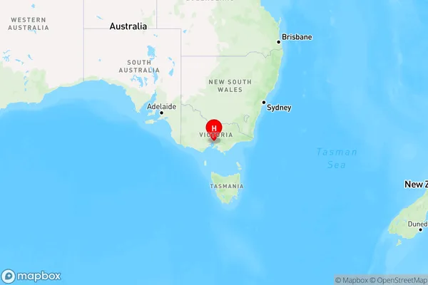
Darling, Malvern East, Stonnington - East, Melbourne - Inner South, Victoria, Australia, 3145
Darling Postcode
Area Name
DarlingDarling Suburb Area Map (Polygon)

Darling Introduction
Melbourne is the cultural and economic center of Australia. It is the 2nd most populous city in Australia and the most populous city in Oceania. It is located in the southeastern part of the mainland, bordered by Port Phillip Bay and the Dandenong and Yarra Ranges. The city has a diverse population and is known for its cultural institutions, including the Melbourne Museum, the National Gallery of Victoria, and the Australian Ballet. It is also home to a number of major sporting events, including the Australian Grand Prix and the Melbourne Cup.State Name
City or Big Region
District or Regional Area
Suburb Name
Darling Region Map

Country
Main Region in AU
R1Coordinates
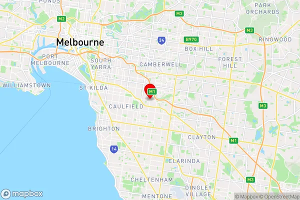
-37.876934,145.0593667 (latitude/longitude)Darling Area Map (Street)

Longitude
145.049328Latitude
-37.873557Darling Elevation
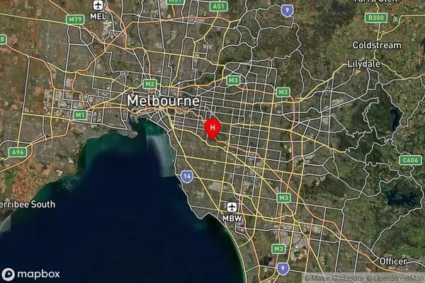
about 44.29 meters height above sea level (Altitude)Darling Suburb Map (Satellite)

Distances
The distance from Darling, Melbourne - Inner South, VIC to AU Greater Capital CitiesSA1 Code 2011
20804119534SA1 Code 2016
20804119534SA2 Code
208041195SA3 Code
20804SA4 Code
208RA 2011
1RA 2016
1MMM 2015
1MMM 2019
1Charge Zone
V1LGA Region
StonningtonLGA Code
26350Electorate
Macnamara